What is recorded here
The Civil Survey (1654-6) describes 'the fford called O Hogans mill' (Simington 1934, vol.2, 143). It is likely that this is at the location described as 'Hogan's Pass' on the 1st (1840) and 2nd (1954) ed. OS 6-inch map. Bridge (TN020-034002) called 'Hogan's Pass Bridge' now located at the fording point.
The above description is derived from 'The Archaeological Inventory of County Tipperary. Vol. 1 - North Tipperary' compiled by Jean Farrelly and Caimin O'Brien (Dublin: Stationery Office, 2002). In certain instances the entries have been revised and updated in the light of recent research.
Date of upload/revision: 22 September 2008
The monument record does not grant public access. Check the route and ask the landowner before entering private land.
- What survives
- Recorded monument
Places near here
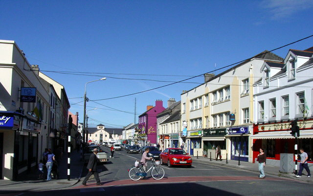 Hogans PassBridge · 21 yd
 Enclosure in TullamoreEnclosure · 668 yd
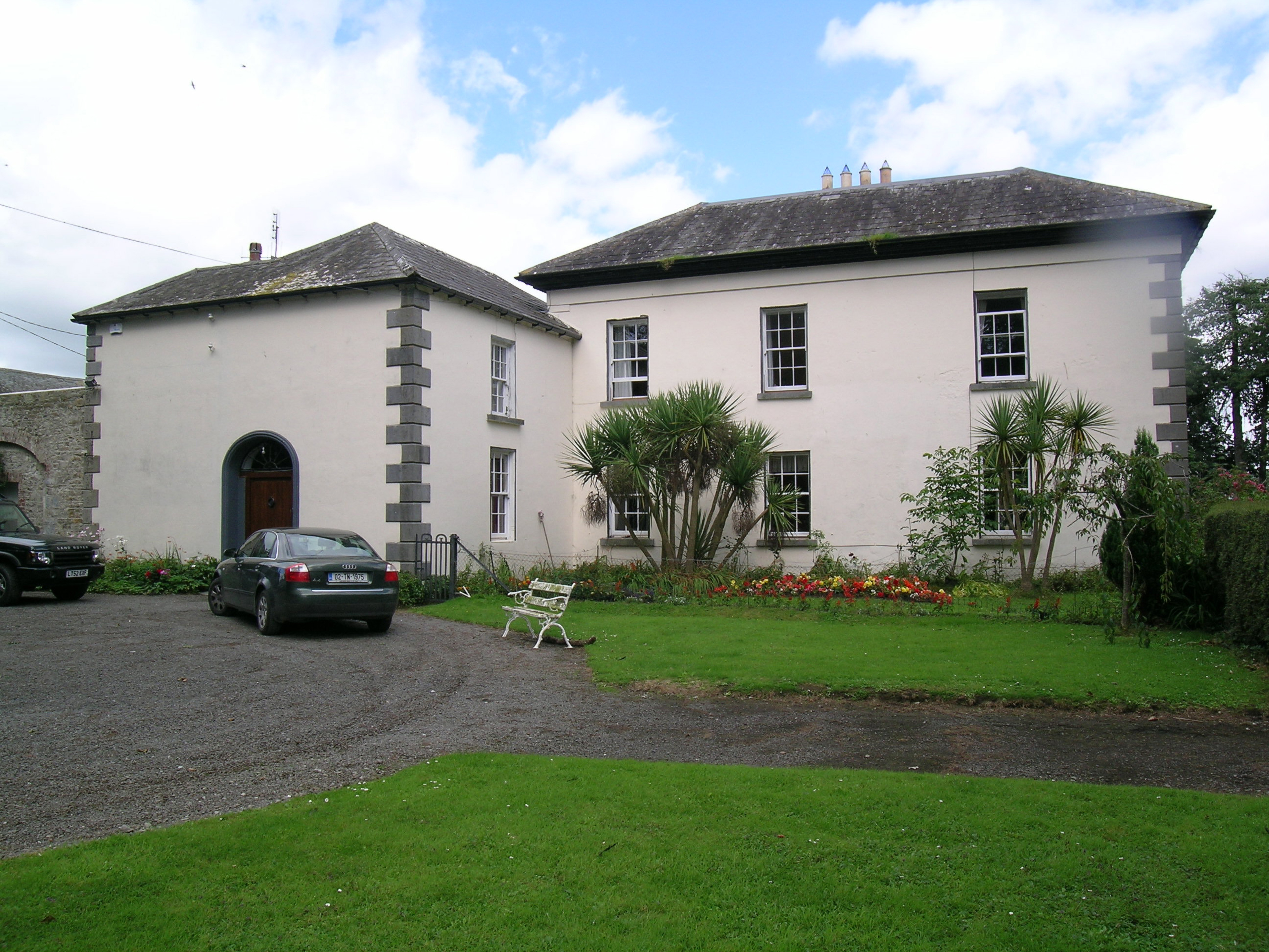 Tullamore Parkcountry house · 1080 yd
 Church, (Site of) ChurchChurch · 1523 yd
 Richmond Ho.House, fortified house · 1.3 mi
 Bawn in Kilcolman (youghalarra Par.)Bawn · 1.4 mi
 Blessed WellNature reserve · 2.3 mi
 Nenagh Heritage CentreMuseum · 2.5 mi
 Old BarracksHeritage attraction · 2.7 mi
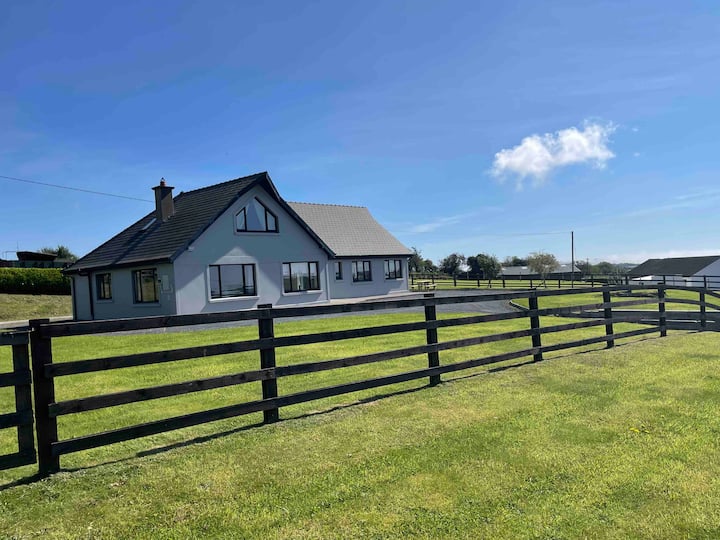 Youghal BayBay · 3.5 mi
 Giant's GraveArchaeological place · 3.6 mi
 Knigh HillMountain / peak · 3.7 mi