What is recorded here
HMS Brisk is a destroyer wreck in County Antrim, Ireland. The bow section measures 55m X 23m X 2.2m and lies between 57 and 42m deep. The ship was lost in 1917, but the main hull is missing from this record. What remains is a long steel ribbon on the sea floor, perhaps still holding guns, decks or rooms that no longer have a name.
The official Northern Ireland wreck record identifies HMS Brisk (bow section) as Destroyer. It was lost in 1917. Recorded depth: 57-42m. Recorded condition: Anomaly: 55m X 23m X 2.2m.
HMS Brisk was a British destroyer launched in 1896 and lost in 1917 during World War I. It sank following a collision with the RMS *Leinster* in Dublin Bay, resulting in the loss of all but two of its 192 crew; the wreck remains a significant wartime maritime heritage site.
A wreck point does not grant access or permission to dive, enter land, disturb the site or recover anything. Check current law and local conditions first.
Places near here
 SroanderrigHeadland · 1152 yd
 SroannamaddyHeadland · 1586 yd
 U-shaped boat enclosure in KebbleU-shaped boat enclosure · 1.1 mi
 Rathlin IslandIsland · 1.4 mi
 A.P. SITE: CROPMARK OF SQUARE ENCLOSURE in KebbleA.P. SITE: CROPMARK OF SQUARE ENCLOSURE · 1.5 mi
 Rathlin West LighthouseLighthouse · 1.5 mi
 Boathouse Visitor Centre & MuseumMuseum · 2.9 mi
 Boat HouseBoat House · 2.9 mi
 CASTLE or CASHEL & Man-made underground passages (SITE OF): CASTLE VOODISH in CarravindoonCASTLE or CASHEL & Man-made underground passages (SITE OF): CASTLE VOODISH · 3.2 mi
 Brackens CaveCave · 3.5 mi
 Ballycarry Trail, RathlinWalking route · 3.6 mi
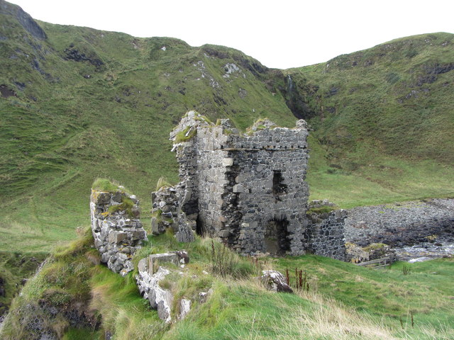 KINBANE CASTLE in CregganboyKINBANE CASTLE · 3.7 mi