What is recorded here
Scotland's National Record of the Historic Environment records Hms Brisk (bow Section) as Destroyer (period Unassigned)-(1917). The official map says its point is accurate as follows: NGR given to the nearest 1m. The record does not by itself mean that the public may enter the place.
HMS Brisk, a British destroyer launched in 1894, was lost in 1917 after striking a mine off the coast of Scotland. The vessel sank with the loss of several crew members, though the exact number remains unspecified; its wreck, identified by the bow section, is significant as a well-preserved example of an early 20th-century destroyer.
The historic-place record does not grant public access. Check current conditions and ownership before entering land or a building.
Places near here
 SroanderrigHeadland · 1152 yd
 SroannamaddyHeadland · 1585 yd
 U-shaped boat enclosure in KebbleU-shaped boat enclosure · 1.1 mi
 Rathlin IslandIsland · 1.4 mi
 A.P. SITE: CROPMARK OF SQUARE ENCLOSURE in KebbleA.P. SITE: CROPMARK OF SQUARE ENCLOSURE · 1.5 mi
 Rathlin West LighthouseLighthouse · 1.5 mi
 Boathouse Visitor Centre & MuseumMuseum · 2.9 mi
 Boat HouseBoat House · 2.9 mi
 CASTLE or CASHEL & Man-made underground passages (SITE OF): CASTLE VOODISH in CarravindoonCASTLE or CASHEL & Man-made underground passages (SITE OF): CASTLE VOODISH · 3.2 mi
 Brackens CaveCave · 3.5 mi
 Ballycarry Trail, RathlinWalking route · 3.6 mi
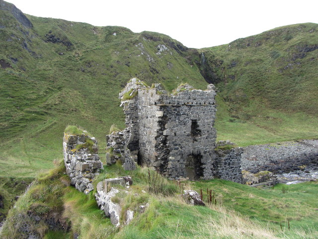 KINBANE CASTLE in CregganboyKINBANE CASTLE · 3.7 mi