What is recorded here
Carysfort borough was established in 1628 by Charles II as part of the plantation of Wicklow and appears to have been largely a garrison town. The castle (WI034-010001-) appears to have been built about the same time and the site of an enclosure (WI034-010002-) is shown to the south on the 1838 OS 6-inch map. The original parish church was located in the old graveyard here. (Bradley and King 1989, 28-31)
The above description is derived from the published 'Archaeological Inventory of County Wicklow' (Dublin: Stationery Office, 1997). In certain instances the entries have been revised and updated in the light of recent research.
Date of upload/revision: 17 December 2008
The monument record does not grant public access. Check the route and ask the landowner before entering private land.
- What survives
- Recorded monument
Places near here
 Cross in Macreddin WestCross · 374 yd
 Church in Macreddin WestChurch · 768 yd
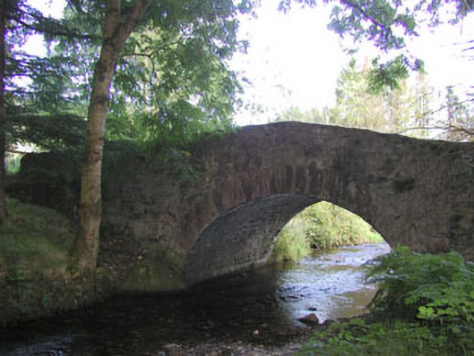 Macreddin Bridgebridge · 1008 yd
 Font (present location) in UnknownFont (present location) · 1383 yd
 (Site of) CastleCastle, unclassified · 1.7 mi
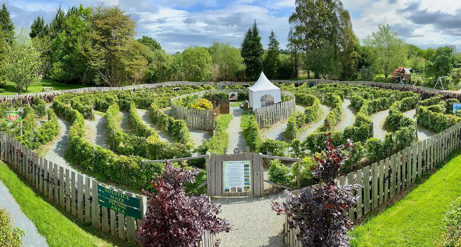 Greenan Farm Museum & MazeMuseum · 2.2 mi
 Ballinacor MountainMountain / peak · 2.2 mi
 Ballinagappoge MountainMountain / peak · 2.6 mi
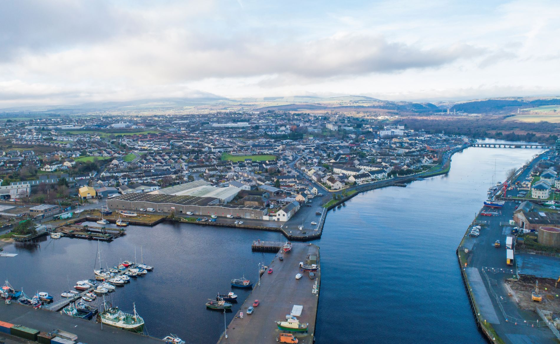 Site of Phelims CastleCastle, tower house · 2.6 mi
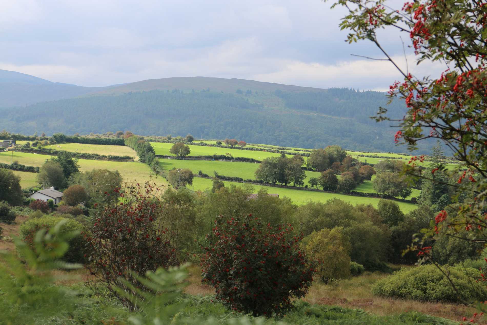 Roddenagh WoodForest · 3.0 mi
 Meeting of the WatersHeritage attraction · 4.1 mi
 Ballyteige WoodForest · 4.2 mi