What is recorded here
Mulligan’s rough black rock still holds the shape of hands that broke it into pieces. The Loup remains a post-medieval settlement in Ballymulligan, County Derry, not a polished monument but a place where human life worked the land and left its mark behind.
The official Northern Ireland record identifies this as Historic Settlement The Loup. Recorded period: POST-MED. The official map point was placed at the centre of the recorded archaeological site from the source map reference.
The monument record does not grant public access. Check the route and ask the landowner before entering private land.
- What survives
- Recorded monument
Places near here
 ENCLOSURE (O.S. memoir site, unlocated) in BallymulliganENCLOSURE (O.S. memoir site, unlocated) · 636 yd
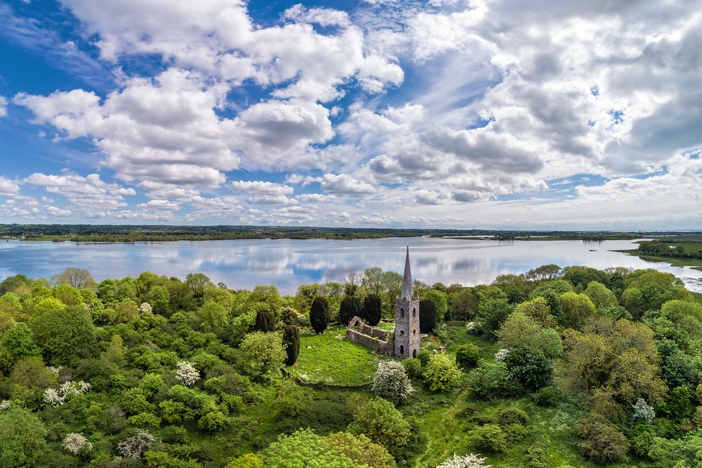 CHURCH (possibly site of) in Ballyneill BegCHURCH (possibly site of) · 1574 yd
 Springhill HouseCountry House · 2.5 mi
 Former Common BarnFactory · 2.8 mi
 Coltrim Picnic ParkPicnic place · 3.3 mi
 Coagh ambushambush · 3.7 mi
 War MemorialMonument · 5.6 mi
 TOWER-HOUSE & BAWN: TOOME CASTLE in ToomeTOWER-HOUSE & BAWN: TOOME CASTLE · 6.4 mi
 Slieve Gallion NE TopMountain / peak · 6.5 mi
 PRE-NORMAN MONASTERY, & LATER CHURCH & GRAVEYARD: ARBOE or ARDBOE ABBEY in FarsnaghPRE-NORMAN MONASTERY, & LATER CHURCH & GRAVEYARD: ARBOE or ARDBOE ABBEY · 6.7 mi
 Drummond WoodWood · 6.9 mi
 Sawmill WoodWood · 7.2 mi