What is recorded here
Edenmore in County Fermanagh carried a post-medieval settlement tempo, meaning people remained active there long after the familiar medieval boundary had faded. The land may have sounded like footsteps, cart wheels or voices carrying across fields, though no exact event survives. Its continuity matters because occupancy itself shaped the region, even when names and dates escaped memory.
The official Northern Ireland record identifies this as Historic Settlement Tempo. Recorded period: POST-MED. The official map point was placed at the centre of the recorded archaeological site from the source map reference.
The monument record does not grant public access. Check the route and ask the landowner before entering private land.
- What survives
- Recorded monument
Places near here
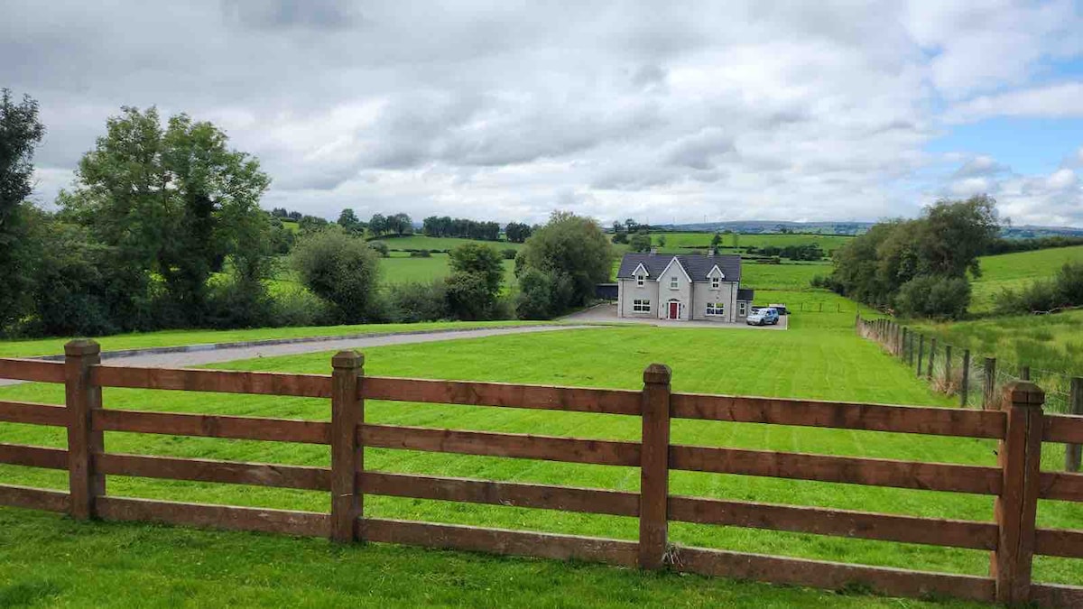 OVAL ENCLOSURE in PubbleOVAL ENCLOSURE · 1.1 mi
 Pubble ForestForest · 1.3 mi
 OVAL ENCLOSURE in Mullyknock OR Topped MountainOVAL ENCLOSURE · 2.4 mi
 Topped MountainMountain / peak · 2.8 mi
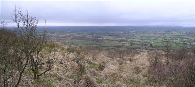 Brougher MountainMountain / peak · 3.1 mi
 Doocarn WoodWood · 3.6 mi
 Holy Trinity ChurchChurch · 4.2 mi
 St. Mary's RC ChurchChurch · 4.5 mi
 The Station House, BrookeboroughHeritage attraction · 4.8 mi
 MULTIPERIOD CHURCH & GRAVEYARD in MagheracrossMULTIPERIOD CHURCH & GRAVEYARD · 5.6 mi
 "Fivemiletown Deli" G8 Virtual ShopHeritage attraction · 5.7 mi
 C17th DEFENDED HOUSE & BAWN: TRILLICK CASTLE in Castlemervyn DemesneC17th DEFENDED HOUSE & BAWN: TRILLICK CASTLE · 6.1 mi