What is recorded here
Strangford Lower held a post-medieval settlement where people built, broke and rebuilt along the coast. The official record points to the centre of that archaeological site, not a single house or street. Whatever lived there, it left enough trace for the place to still be named.
The official Northern Ireland record identifies this as Historic Settlement Strangford. Recorded period: POST-MED. The official map point was placed at the centre of the recorded archaeological site from the source map reference.
The monument record does not grant public access. Check the route and ask the landowner before entering private land.
- What survives
- Recorded monument
Places near here
 STONE QUAY in Strangford LowerSTONE QUAY · 11 yd
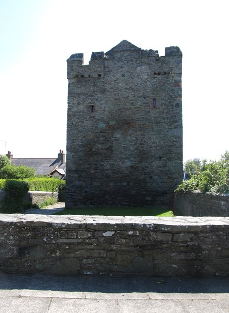 Strangford CastleCastle · 38 yd
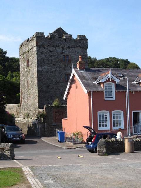 TOWER-HOUSE: STRANGFORD CASTLE in Strangford LowerTOWER-HOUSE: STRANGFORD CASTLE · 40 yd
 Swan IslandIslet · 159 yd
 Strangford Presbyterian ChurchChurch · 549 yd
 Cranes' CornerHeadland · 731 yd
 QUAY in Ballyphilip (portaferry)QUAY · 1130 yd
 15-16 The StrandHouse · 1186 yd
 Audley's CastleHeritage attraction · 1463 yd
 Sandy IslandIslet · 1625 yd
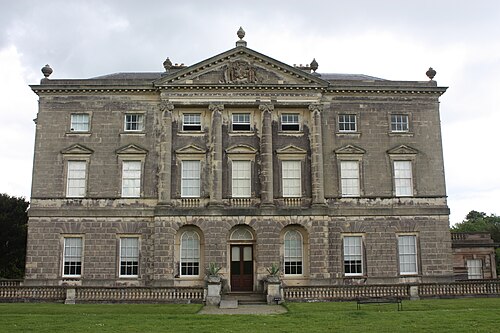 Castle WardCastle · 1639 yd
 Audleystown WoodWood · 1674 yd