What is recorded here
Newtownbutler emerged during the post-medieval and seventeenth-century periods, marking a time when Fermanagh transformed from scattered holdings into structured townland life. The name itself announces arrival, suggesting people came intentionally rather than drifting in. They likely cut fields, built shelters and learned the river's moods before writing entered the story. What is absent from formal accounts is the sound of that settlement: children calling across lanes, tools striking stone, argument and laughter in kitchens now gone. The townland preserved the fact of human presence even when the details dissolved.
The official Northern Ireland record identifies this as HISTORIC SETTLEMENT: NEWTOWNBUTLER. Recorded period: POST-MED; C17TH. The official map point was placed at the centre of the recorded archaeological site from the source map reference.
The monument record does not grant public access. Check the route and ask the landowner before entering private land.
- What survives
- Recorded monument
Places near here
 Battle of Newtownbutlerbattle · 426 yd
 C17th HOUSE & BAWN: CASTLE BRINDSLEY (unlocated) in SheenyC17th HOUSE & BAWN: CASTLE BRINDSLEY (unlocated) · 748 yd
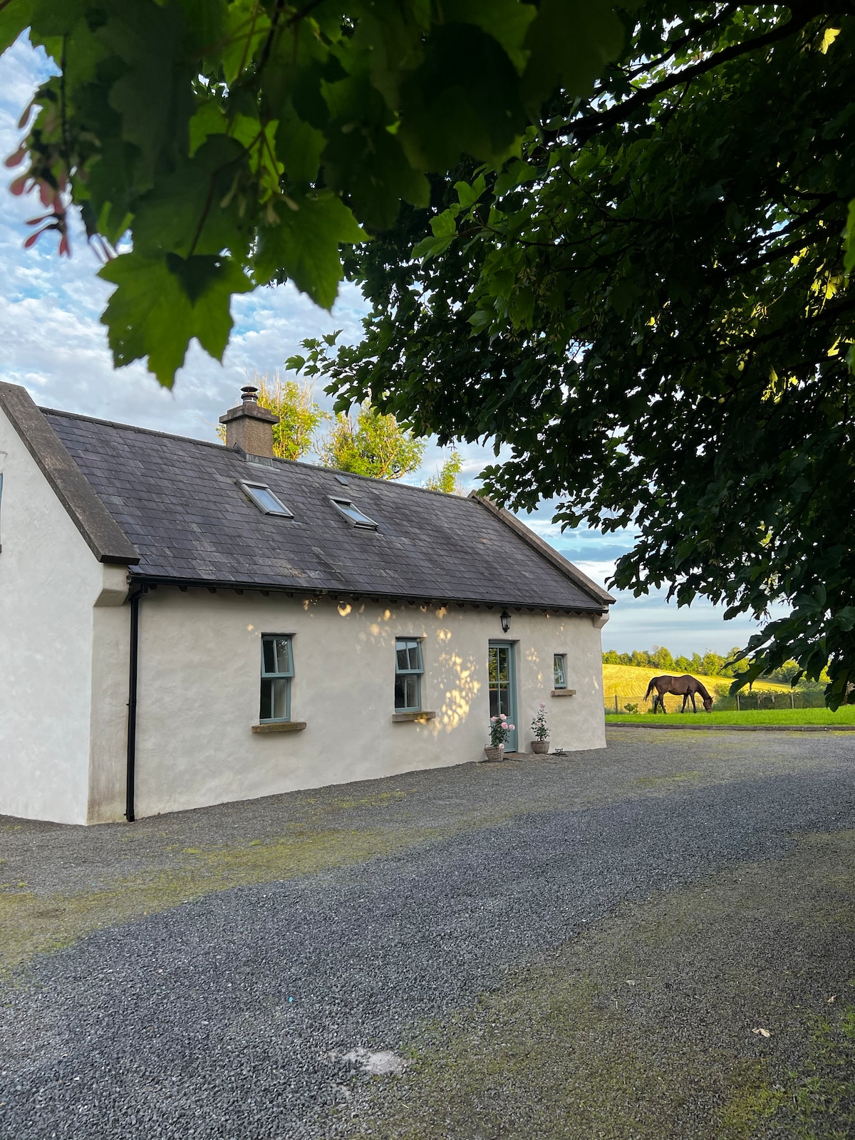 PLANTATION HOUSE & BAWN (unlocated) in LisnashillidaPLANTATION HOUSE & BAWN (unlocated) · 1719 yd
 ENCLOSURE in SandholesENCLOSURE · 1.3 mi
 HOLY WELL: TOBERAKILL in KiltoberHOLY WELL: TOBERAKILL · 2.4 mi
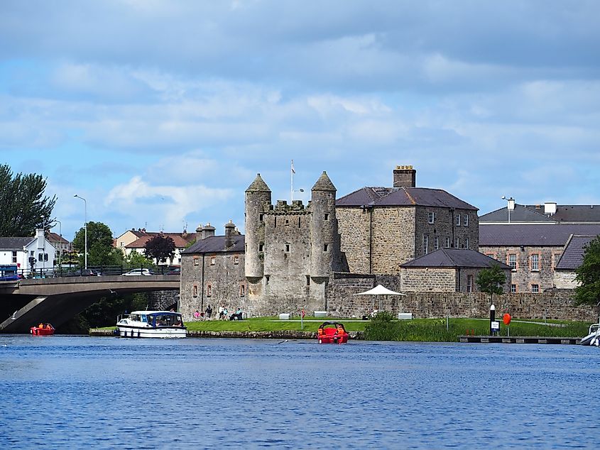 Small IslandIslet · 2.7 mi
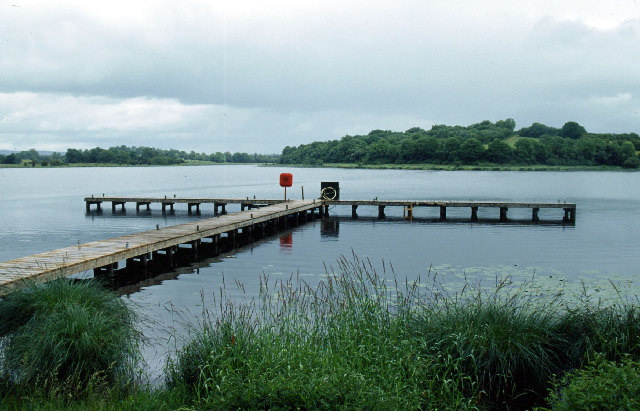 Galloon IslandIsland · 2.7 mi
 LisnamallardRuins · 2.7 mi
 GolanRuins · 2.9 mi
 Culliagh WoodWood · 3.1 mi
 Knocknabrass WoodWood · 3.2 mi
 Crom Visitors CentreMuseum · 3.2 mi