What is recorded here
Magheraveely in Uttony, County Fermanagh, held a post-medieval settlement dating to the seventeenth century. The name itself carries a bridge and a hempen rope, hinting that people crossed water there and tied their lives to the far bank. Houses may have stood among reeds, children may have chased ducks along the margin, and neighbours may have judged a good day by how high the sun climbed above the treeline. What is certain is that the land was not empty; it was shaped by ordinary hands, ordinary hunger and ordinary hope.
The official Northern Ireland record identifies this as HISTORIC SETTLEMENT: MAGHERAVEELY. Recorded period: POST-MED; C17TH. The official map point was placed at the centre of the recorded archaeological site from the source map reference.
The monument record does not grant public access. Check the route and ask the landowner before entering private land.
- What survives
- Recorded monument
Places near here
 ENCLOSURE in ClonfeileENCLOSURE · 707 yd
 ENCLOSURE in ClonattyENCLOSURE · 1153 yd
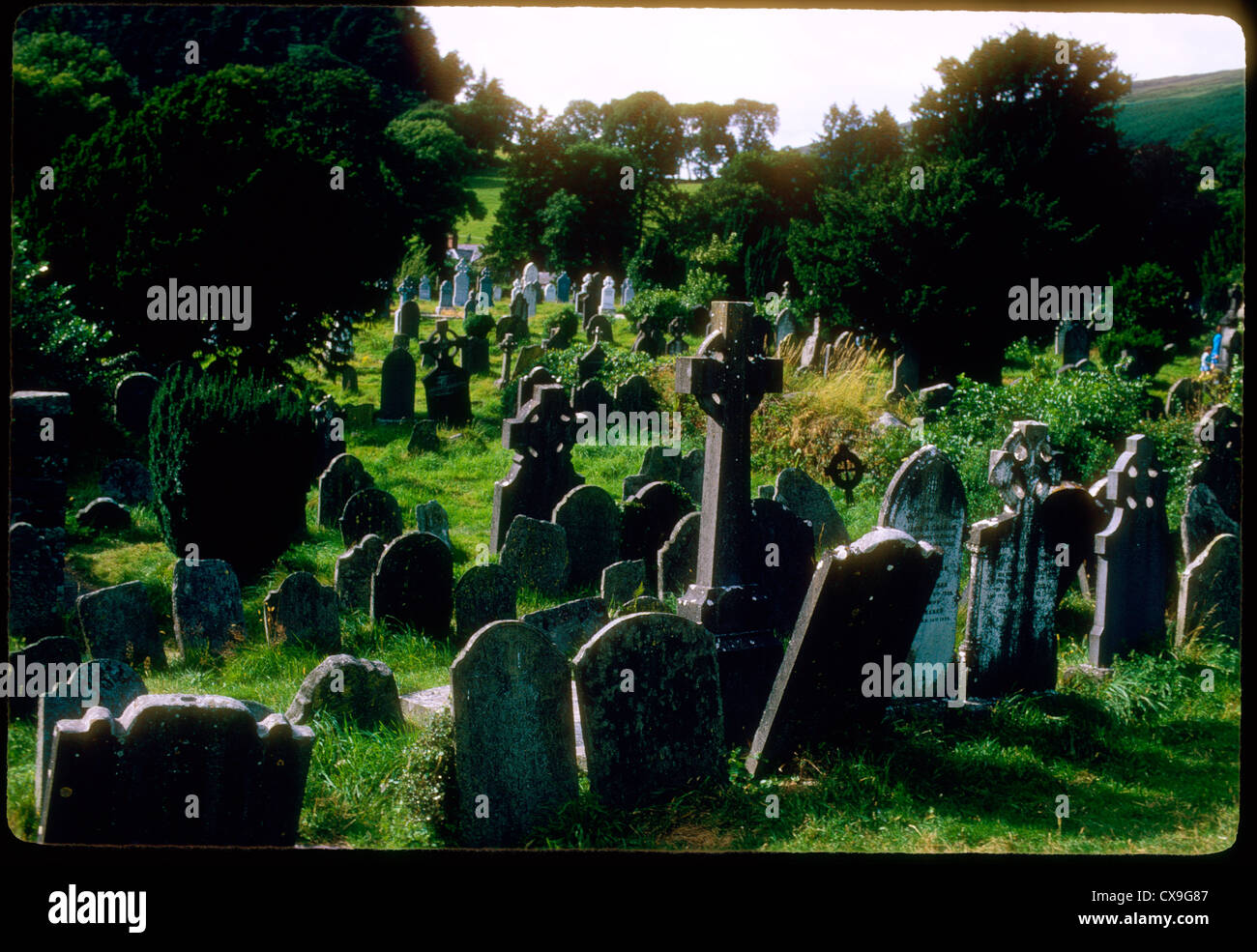 Clontivrin Grave YardArchaeological place · 1.7 mi
 PLANTATION TOWER-HOUSE & BAWN (unlocated) in ShannockPLANTATION TOWER-HOUSE & BAWN (unlocated) · 1.9 mi
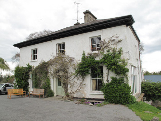 Drumard Househouse · 2.0 mi
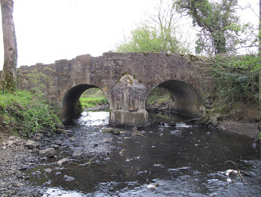 Priests Bridgebridge · 2.1 mi
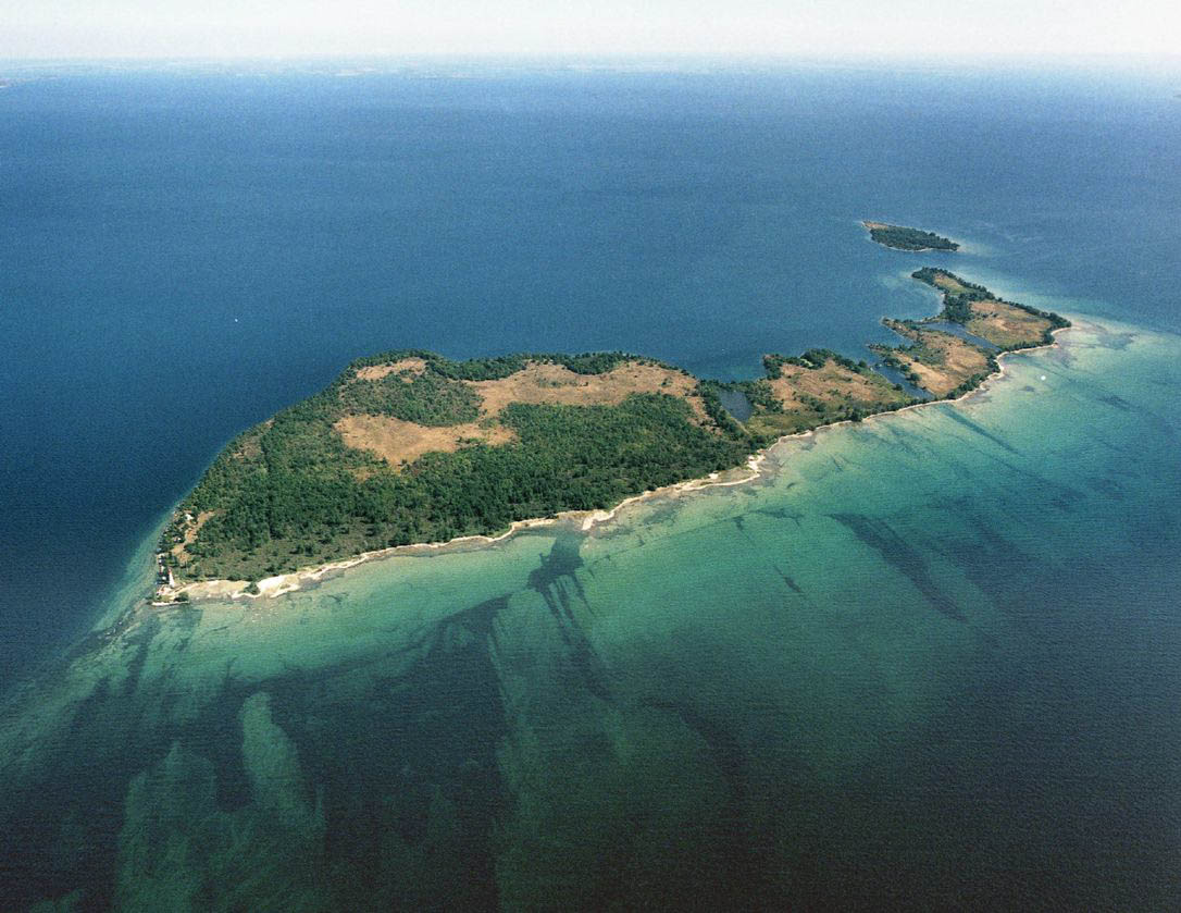 Duck IslandIslet · 2.2 mi
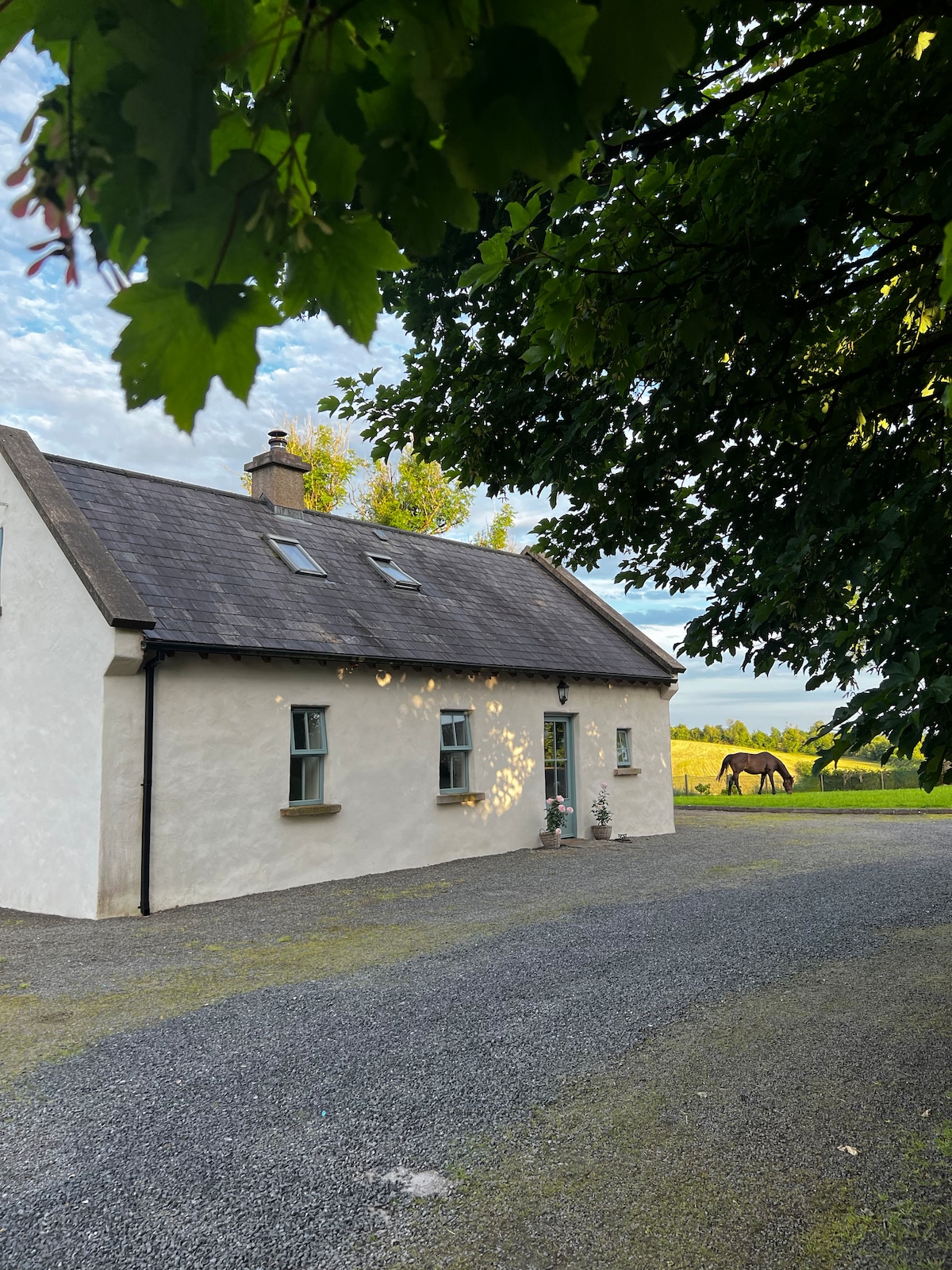 PLANTATION HOUSE & BAWN (unlocated) in LisnashillidaPLANTATION HOUSE & BAWN (unlocated) · 2.3 mi
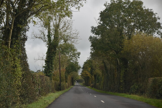 Mount DarbyMountain / peak · 2.5 mi
 Ulster Canal Stores Visitor CentreHeritage attraction · 2.5 mi
 The Cassandra Hand CentreMuseum · 2.5 mi
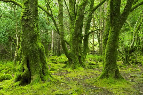 Crocknaboghill ForestForest · 2.7 mi