What is recorded here
Larne, Latherne, Lacharne and Dunmalys name one settlement stretching from medieval to modern times in Curran and Drumalys. Its changing spellings suggest a place spoken often enough for identity to blur at the edges. People may have lived there through every storm and season while the name shifted like breath on water.
The official Northern Ireland record identifies this as HISTORIC SETTLEMENT: LARNE or LATHERNE or LACHERNE or DUNMALYS. Recorded period: POST-MED; MODERN; LATE-MED; MEDIEVAL. The official map point was placed at the centre of the recorded archaeological site from the source map reference.
The monument record does not grant public access. Check the route and ask the landowner before entering private land.
- What survives
- Recorded monument
Places near here
 Ulster BankBank · 108 yd
.jpg?width=1280) Town HallTown hall · 136 yd
Town HallTown hall · 136 yd TOWER-HOUSE: OLDERFLEETE CASTLE in LarneTOWER-HOUSE: OLDERFLEETE CASTLE · 196 yd
 Larne War MemorialMemorial · 203 yd
 TOWER-HOUSE: TCHEVET CASTLE (unlocated) in Curran AND Drumaliss; LarneTOWER-HOUSE: TCHEVET CASTLE (unlocated) · 1129 yd
 MV Princess Victoria MemorialMemorial · 1.0 mi
 SQUARE ENCLOSURE? in BallylumfordSQUARE ENCLOSURE? · 1.3 mi
 A.P. SITEA.P. SITE, possible enclosure · 2.2 mi
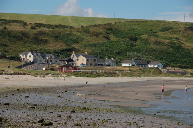 Browns bay walkBeach / strand · 2.3 mi
 Swan IslandIslet · 2.4 mi
 Garden TrailWalking route · 2.9 mi
 Ballygalley HeadCliff · 3.4 mi