What is recorded here
Killough anchored a post-medieval settlement where human life repeated itself across centuries. The official record preserves the site rather than a single dramatic event, suggesting continuity instead of a sudden clash. People likely built, reused and abandoned the same ground until memory itself became layered. What is missing is not a warning but an invitation to imagine the ordinary hands that shaped it.
The official Northern Ireland record identifies this as Historic Settlement Killough. Recorded period: POST-MED. The official map point was placed at the centre of the recorded archaeological site from the source map reference.
The monument record does not grant public access. Check the route and ask the landowner before entering private land.
- What survives
- Recorded monument
Places near here
 Anchor BarPublic House · 76 yd
 Water Safety Information - Killough Harbour (Castle)Visitor information · 233 yd
 Water Safety Information - Killough HarbourVisitor information · 254 yd
 St. Anne's Parish ChurchChurch · 295 yd
 Curlew PointHeadland · 1045 yd
 CASTLE in KilbrideCASTLE · 1291 yd
 AP Cropmark- Possible enclosure or rath in BallyligAP Cropmark- Possible enclosure or rath · 1.3 mi
 MODERN CHURCH ON EARLIER SITE in ArdglassMODERN CHURCH ON EARLIER SITE · 1.4 mi
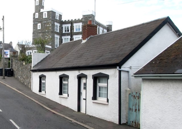 TOWER-HOUSE: KING'S CASTLE in ArdglassTOWER-HOUSE: KING'S CASTLE · 1.5 mi
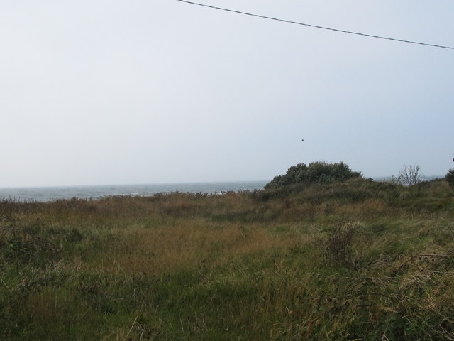 Rossglass BeachBeach / strand · 2.0 mi
 Ardtole ChurchWalking route · 2.0 mi
 CHURCH (in ruins) & GRAVEYARD: ARDTOLE CHURCH; ST.NICHOLAS' in ArdtoleCHURCH (in ruins) & GRAVEYARD: ARDTOLE CHURCH; ST.NICHOLAS' · 2.1 mi