What is recorded here
Katesbridge in Shannaghan, County Down, is a post-medieval settlement where human life left marks deep enough for archaeology to notice. The official map places the site at the centre of those marks, suggesting a bridge, a crossing or a lived boundary rather than an empty field. People may have crossed water, carried goods or simply passed through while shaping the land into a name worth keeping.
The official Northern Ireland record identifies this as Historic Settlement Katesbridge. Recorded period: POST-MED. The official map point was placed at the centre of the recorded archaeological site from the source map reference.
The monument record does not grant public access. Check the route and ask the landowner before entering private land.
- What survives
- Recorded monument
Places near here
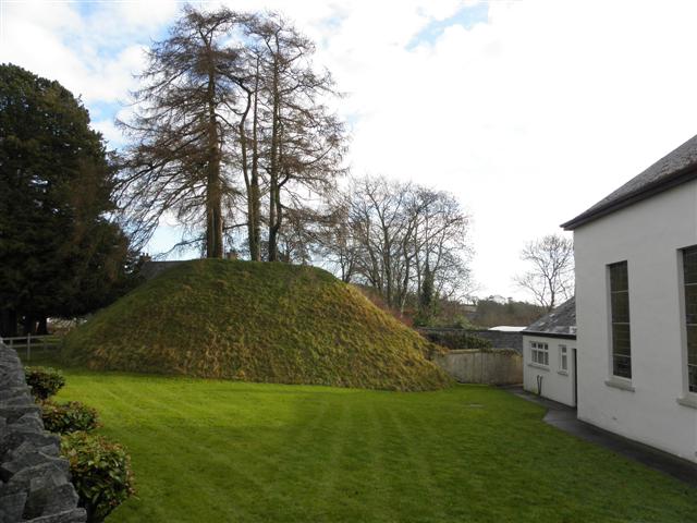 Katesbridge MoundArchaeological place · 26 yd
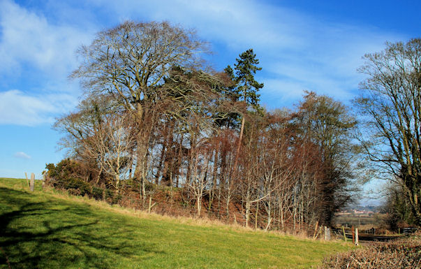 ENCLOSUREENCLOSURE, rath? · 1.1 mi
 CASTLE & RATH reused as BAILEY: SEAFIN CASTLE; Magh Cobha; Moycove in SeafinCASTLE & RATH reused as BAILEY: SEAFIN CASTLE; Magh Cobha; Moycove · 1.4 mi
 Poland's BridgeBridge · 1.9 mi
 Drumgooland Presbyterian ChurchChurch · 1.9 mi
 KnockiveaghMountain / peak · 2.5 mi
 The Brontë CentreVisitor information · 2.7 mi
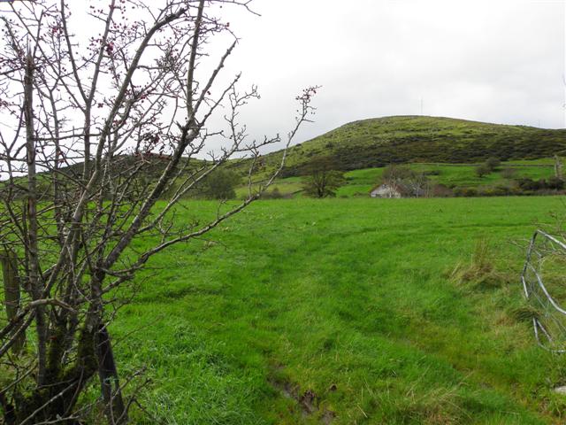 Deehommed MountainMountain / peak · 2.7 mi
 Knockiveagh Picnic SitePicnic place · 2.8 mi
 CHURCH & GRAVEYARD: DRUMGOOLAND in DeehommedCHURCH & GRAVEYARD: DRUMGOOLAND · 3.0 mi
 The Moat PadWalking route · 3.7 mi
 Game of Thrones Studio TourHeritage attraction · 3.9 mi