What is recorded here
Jonesborough in Edenappa remains a post-medieval settlement marked only by a single point on the official map. That bare designation hides rooms where people breathed, cooked and argued under ordinary skies. The absence of detail does not reduce the place; it returns the missing life to imagination.
The official Northern Ireland record identifies this as Historic Settlement Jonesborough. Recorded period: POST-MED. The official map point was placed at the centre of the recorded archaeological site from the source map reference.
The monument record does not grant public access. Check the route and ask the landowner before entering private land.
- What survives
- Recorded monument
Places near here
 Church of Ireland ChurchChurch · 620 yd
 1978 British Army Gazelle downingaviation accident · 757 yd
 Faughill MountainMountain / peak · 1254 yd
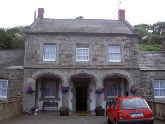 Ravensdale Housestables · 1549 yd
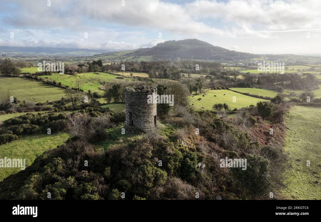 ENCLOSURE in Foughill OtraENCLOSURE · 1722 yd
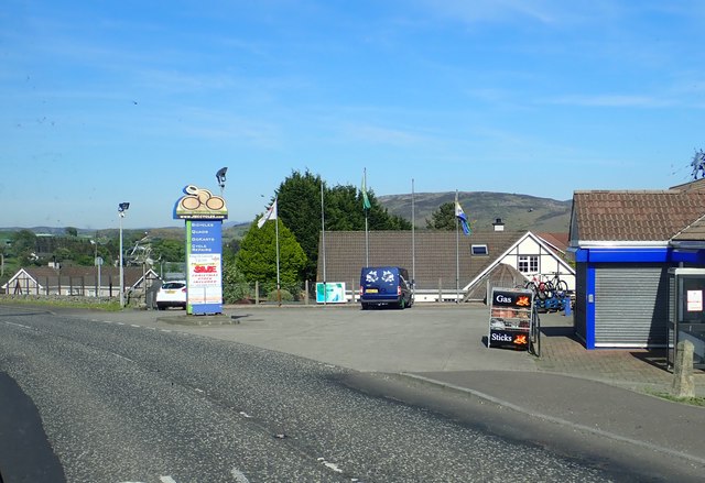 Ring of Gullion WayWalking route · 1.1 mi
 Ravensdale LoopWalking route · 1.3 mi
 Ravensdale ForestForest · 1.4 mi
 Kilnasggart inscribed stoneArchaeological place · 1.4 mi
 KILNASAGGART INSCRIBED PILLAR STONE & CEMETERY with 6 CROSS-CARVED STONES: CELL NA SACART in EdenappaKILNASAGGART INSCRIBED PILLAR STONE & CEMETERY with 6 CROSS-CARVED STONES: CELL NA SACART · 1.4 mi
 Feede MountainMountain / peak · 1.5 mi
 CASTLE & BAWN: MOYRY or MOIRY CASTLE in CarrickbroadCASTLE & BAWN: MOYRY or MOIRY CASTLE · 1.7 mi