What is recorded here
No visible trace remains, but the ground still belongs to the people who shaped it before records began. The settlement predates written memory, meaning human hands worked that soil while kings and cameras did not exist. Forgetting is the only violence left.
The official Northern Ireland record identifies this as Historic Settlement. Recorded period: POST-MED. The official map point was placed at the centre of the recorded archaeological site from the source map reference.
The monument record does not grant public access. Check the route and ask the landowner before entering private land.
- What survives
- Recorded monument
Places near here
 Monea CastleHeritage attraction · 779 yd
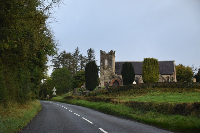 MULTIPERIOD CHURCH SITEMULTIPERIOD CHURCH SITE, Pre-Norman-Modern · 937 yd
 ENCLOSURE in Killyveagh GlebeENCLOSURE · 1183 yd
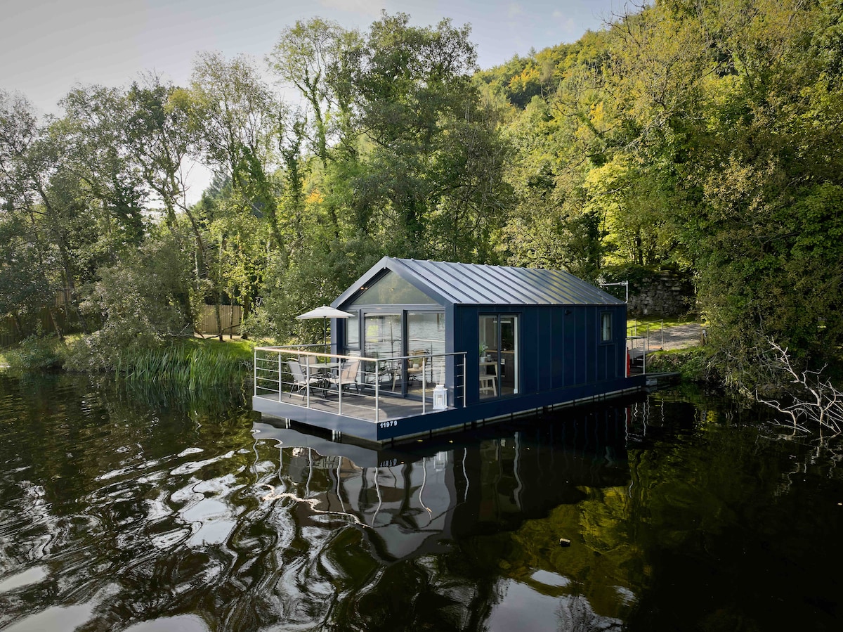 Carrickreagh WoodWood · 1.4 mi
 Inish LougherIsland · 1.8 mi
 Gate LodgeGates/ Screens/ Lodges · 1.8 mi
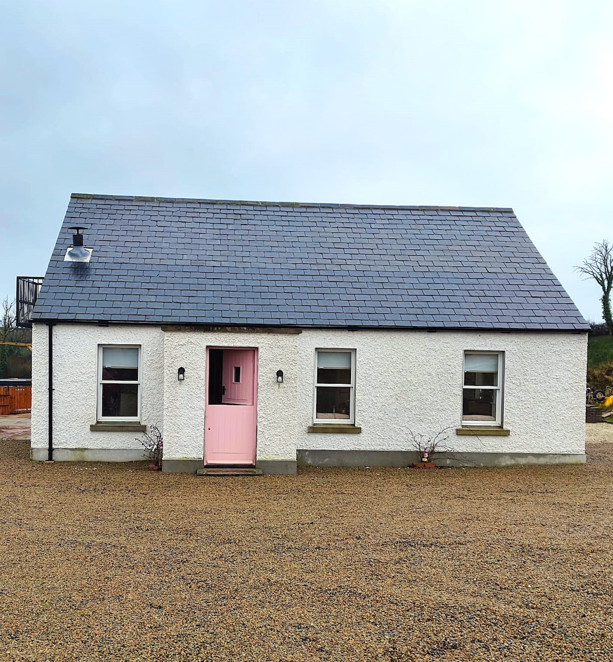 C17TH HOUSE & BAWN (unlocated) in CosbystownC17TH HOUSE & BAWN (unlocated) · 2.0 mi
 Inish FovarIsland · 2.0 mi
 FORTIFIED HOUSE (unlocated) in DrumbooryFORTIFIED HOUSE (unlocated) · 2.6 mi
 Inishmacsaint Church and Cross in InishmacsaintInishmacsaint Church and Cross · 2.6 mi
 Tullycarbry ForestForest · 2.8 mi
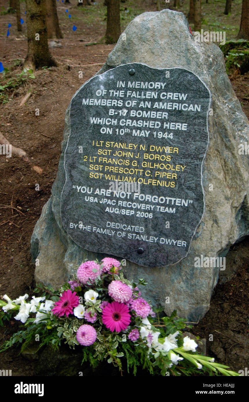 B17 Crash MemorialMonument · 3.7 mi