What is recorded here
Carnanreagh in County Derry held a post-medieval settlement where people lived, worked and repeated the ordinary rituals that make a place familiar. The land may have sounded loud with laughter, argument or rain, while hands shaped tools, food and shelter for neighbours who are no longer named. What is certain is that human life occupied this ground after the medieval period, leaving behind the quiet weight of daily existence rather than a single dramatic event.
The official Northern Ireland record identifies this as Historic Settlement. Recorded period: POST-MED. The official map point was placed at the centre of the recorded archaeological site from the source map reference.
The monument record does not grant public access. Check the route and ask the landowner before entering private land.
- What survives
- Recorded monument
Places near here
 ENCLOSURE in CarnanreaghENCLOSURE · 1056 yd
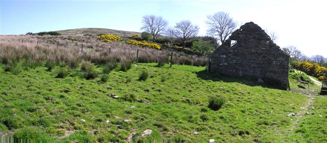 CrockdooishMountain / peak · 1.5 mi
 CROSS-CARVED STONE in AltaghoneyCROSS-CARVED STONE · 1.6 mi
 Learmount CastleCountry House · 2.3 mi
 Learmount WoodWood · 2.4 mi
 MullaghasturrakeenMountain / peak · 3.5 mi
 Chambered GraveArchaeological place · 3.8 mi
 MULTIPERIOD CHURCH & GRAVEYARD (Early Christain-C18th) in CumberMULTIPERIOD CHURCH & GRAVEYARD (Early Christain-C18th) · 3.8 mi
 Claudy bombingbomb attack · 4.2 mi
 Altinaghree CastleCastle · 4.3 mi
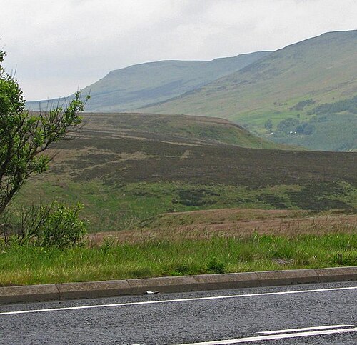 Sperrin MountainsMountain range · 4.5 mi
 Sperrins landscapeHeritage attraction · 4.6 mi