What is recorded here
Muff still holds Eglinton, a post-medieval settlement where human life clustered before modern boundaries drew their sharp lines. The land may have fed families, witnessed storms or forgotten festivals, yet no exact date or named event survives to anchor the memory. What remains is a shape in County Derry, old enough to resist certainty and clear enough to be called home.
The official Northern Ireland record identifies this as Historic Settlement Eglinton. Recorded period: POST-MED. The official map point was placed at the centre of the recorded archaeological site from the source map reference.
The monument record does not grant public access. Check the route and ask the landowner before entering private land.
- What survives
- Recorded monument
Places near here
 CHURCH GABLE: EGLINTON CHURCH in MuffCHURCH GABLE: EGLINTON CHURCH · 511 yd
 Enclosure and pit in LaraghaleasEnclosure and pit · 1133 yd
 CHURCH in TemplemoyleCHURCH · 1583 yd
 ENCLOSURE in CarmoneyENCLOSURE · 1.2 mi
 CHURCH & GRAVEYARD: ENAGH or DOMNACH DOLA in TempletownCHURCH & GRAVEYARD: ENAGH or DOMNACH DOLA · 3.5 mi
 Siege of Derry Boom Stone"The Boom Stone" (Traditionally part of 17th century boom across the River Foyle during the Siege of Derry) · 4.7 mi
 LoughermoreMountain / peak · 4.9 mi
 Loughermore ForestForest · 5.0 mi
 The Ness WoodWood · 5.4 mi
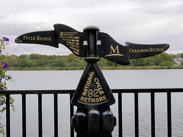 Millennium MilepostVisitor information · 5.8 mi
 Eskaheen GraveyardGraveyard · 5.8 mi
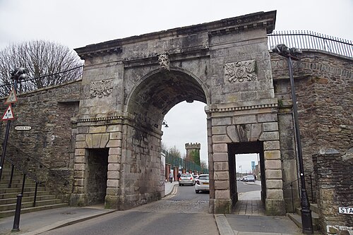 Siege of DerrySiege and battlefield · 5.9 mi