What is recorded here
Dromore in County Down held a medieval settlement where people lived, worked and likely failed before anyone wrote the place into a formal record. The land may have been crowded, hungry, festive or frightened at different times, but those experiences are no longer separable from the soil. What survives is a map point and a label, while the breath of its residents has thinned into air.
The official Northern Ireland record identifies this as HISTORIC SETTLEMENT: DROMORE. Recorded period: MEDIEVAL; POST-MED; LATE-MED. The official map point was placed at the centre of the recorded archaeological site from the source map reference.
The monument record does not grant public access. Check the route and ask the landowner before entering private land.
- What survives
- Recorded monument
Places near here
 Dromore CastleCastle · 40 yd
 TOWER-HOUSE: DROMORE CASTLE in DromoreTOWER-HOUSE: DROMORE CASTLE · 41 yd
,_Dromore_-_geograph.org.uk_-_1400670.jpg?width=1280) First Presbyterian ChurchChurch · 92 yd
First Presbyterian ChurchChurch · 92 yd Downshire BridgeBridge · 127 yd
 St.Colman's Cathedral, on site of PRE-NORMAN MONASTERY & MEDIEVAL CATHEDRAL, with CROSS CARVED STONE in DromoreSt.Colman's Cathedral, on site of PRE-NORMAN MONASTERY & MEDIEVAL CATHEDRAL, with CROSS CARVED STONE · 176 yd
 War MemorialMemorial · 223 yd
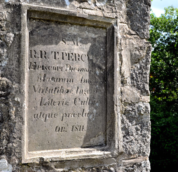 Bishop Thomas Percy MonumentMonument · 379 yd
 Dromore ViaductHeritage attraction · 688 yd
 CHURCH (Listed) & GRAVEYARD in MagherallyCHURCH (Listed) & GRAVEYARD · 4.1 mi
 Lake TrailWalking route · 4.3 mi
 Hillsborough FortVisitor information · 4.3 mi
 Hillsborough Forest ParkForest · 4.5 mi