What is recorded here
Derry began as Daire Calgaich, an oak wood named for a forgotten warrior before Saint Columba founded a monastery there in the sixth century. The name later shifted to Daire Coluimb Chille and finally Doire, carrying layers of faith and identity into modern argument. Londonderry entered only after James I granted a royal charter in 1604, turning an old sacred place into a political boundary still fought over today.
The official Northern Ireland record identifies this as HISTORIC SETTLEMENT: DERRY, LONDONDERRY, DOIRE-CALGAIC, DERRY-CALGACH. Recorded period: E.CHRIST.; MED/L.MED; POST-MED. The official map point was placed at the centre of the recorded archaeological site from the source map reference.
The monument record does not grant public access. Check the route and ask the landowner before entering private land.
- What survives
- Recorded monument
Places near here
 Diamond War MemorialMemorial · 12 yd
 First Derry Presbyterian ChurchChurch · 92 yd
 Apprentice BoysHall · 124 yd
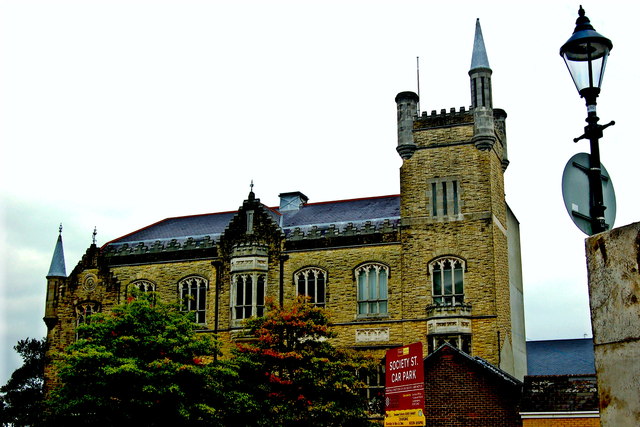 Apprentice Boys of Derry and Siege MuseumMuseum · 125 yd
 Siege Heroes MemorialMonument · 193 yd
 Walker's PlinthMonument · 205 yd
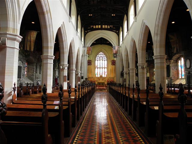 CATHEDRAL in Derry; LondonderryCATHEDRAL · 207 yd
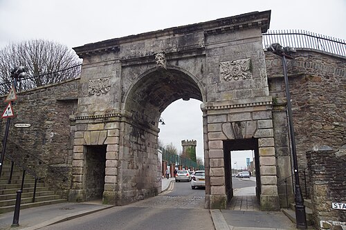 Siege of DerrySiege and battlefield · 220 yd
 TOWER-HOUSE: O'DOHERTY'S CASTLE or THE MAGAZINE in Derry; LondonderryTOWER-HOUSE: O'DOHERTY'S CASTLE or THE MAGAZINE · 221 yd
 Tower MuseumMuseum · 241 yd
 Church BastionViewpoint · 275 yd
 Museum of Free DerryMuseum · 309 yd