
What is recorded here
One road, one river, one visible ancient line. Those facts remove the claim that this is a hidden place or that a secret chamber waits beneath a common street.
The official Northern Ireland record identifies this as Historic Settlement Crossgar. Recorded period: POST-MED. The official map point was placed at the centre of the recorded archaeological site from the source map reference.
The monument record does not grant public access. Check the route and ask the landowner before entering private land.
- What survives
- Recorded monument
Places near here
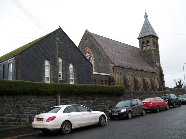 The Square Car ParkVisitor information · 49 yd
 Former market houseOffice · 63 yd
 Glasswater WoodWood · 1.1 mi
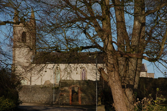 CHURCH (site of) in Killinchy In THE WoodsCHURCH (site of) · 1.4 mi
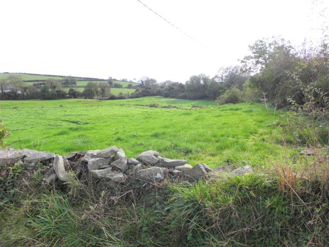 Wallace HillMountain / peak · 2.1 mi
 ENCLOSURE in BallywillinENCLOSURE · 2.1 mi
 CASTLE in AnnacloyCASTLE · 2.6 mi
_-_geograph.org.uk_-_1950440.jpg?width=1280) Inch Parish ChurchChurch · 3.0 mi
Inch Parish ChurchChurch · 3.0 mi Ringmore PointHeadland · 3.6 mi
 Ringmore BayBay · 3.6 mi
 Strangford WalkWalking route · 3.7 mi
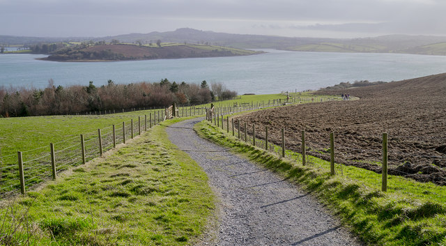 Delamont Country ParkVisitor information · 3.7 mi
Other information
Photo: Credit not shown in the picture search · Rights wording not checked; contact us if this picture should be removed