
What is recorded here
The official Northern Ireland record identifies this as Historic Settlement Crossgar. Recorded period: POST-MED. The official map point was placed at the centre of the recorded archaeological site from the source map reference.
A local church or high cross; wider significance not recorded.
The monument record does not grant public access. Check the route and ask the landowner before entering private land.
- What survives
- Recorded monument
Places near here
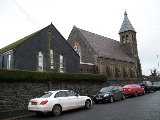 The Square Car ParkVisitor information · 49 yd
 Former market houseOffice · 63 yd
 Glasswater WoodWood · 1.1 mi
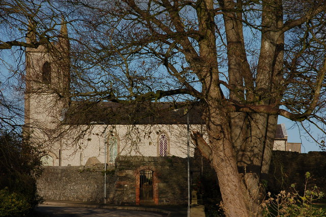 CHURCH (site of) in Killinchy In THE WoodsCHURCH (site of) · 1.4 mi
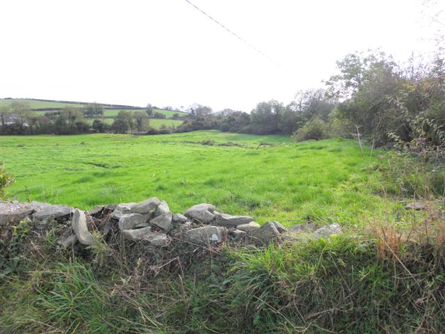 Wallace HillMountain / peak · 2.1 mi
 ENCLOSURE in BallywillinENCLOSURE · 2.1 mi
 CASTLE in AnnacloyCASTLE · 2.6 mi
_-_geograph.org.uk_-_1950440.jpg?width=1280) Inch Parish ChurchChurch · 3.0 mi
Inch Parish ChurchChurch · 3.0 mi Ringmore PointHeadland · 3.6 mi
 Ringmore BayBay · 3.6 mi
 Strangford WalkWalking route · 3.7 mi
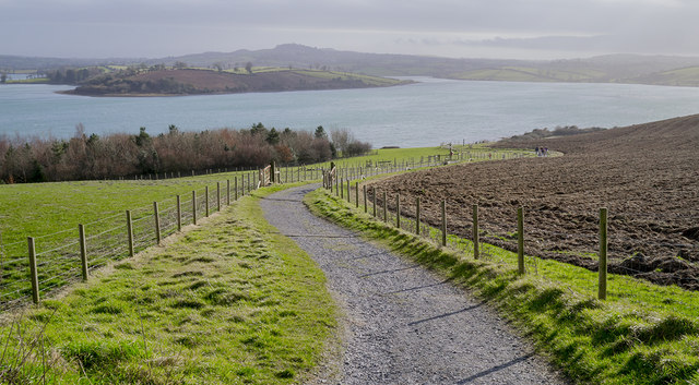 Delamont Country ParkVisitor information · 3.7 mi
Other information
Photo: Credit not shown in the picture search · Rights wording not checked; contact us if this picture should be removed