What is recorded here
Bryansford in Aghacullion, County Down, is a post-medieval settlement where human life left its mark before modern records began. The ground itself holds the shape of that time, even if no standing wall remains to point at it. Whatever was built there has returned to soil, yet the name still marks the place where people lived, worked and disappeared into history.
The official Northern Ireland record identifies this as Historic Settlement Bryansford. Recorded period: POST-MED. The official map point was placed at the centre of the recorded archaeological site from the source map reference.
The monument record does not grant public access. Check the route and ask the landowner before entering private land.
- What survives
- Recorded monument
Places near here
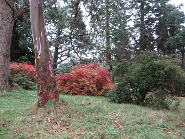 Tollymore Forest - Arboretum PathWalking route · 480 yd
 Horn BridgeBridge · 639 yd
 Old BridgeBridge · 776 yd
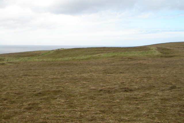 A.P. SITEA.P. SITE, RECTANGULAR ENCLOSURE · 821 yd
 Tollymore Forest Park EntranceNature reserve · 1147 yd
 ENCLOSURE in BurrenbaneENCLOSURE · 1394 yd
 Tollymore Forest - River TrailWalking route · 1460 yd
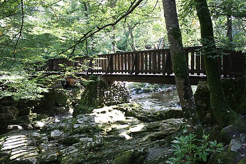 Tollymore ForestForest · 1462 yd
 The DrinnsMountain / peak · 1701 yd
 CurraghardMountain / peak · 1737 yd
 White FortViewpoint · 1.2 mi
 Curraghard SummitViewpoint · 1.2 mi