What is recorded here
Ballymartin is a historic settlement in County Down, Ireland, preserved from the post-medieval period. The official map places its centre on a visible archaeological site, suggesting people lived there long enough to leave behind a shape still recognised today. Whatever kitchens, lanes or arguments filled that space, they vanished into soil and memory. The settlement remains because its outline survived, not because its daily life is written anywhere.
The official Northern Ireland record identifies this as Historic Settlement Ballymartin. Recorded period: POST-MED. The official map point was placed at the centre of the recorded archaeological site from the source map reference.
The monument record does not grant public access. Check the route and ask the landowner before entering private land.
- What survives
- Recorded monument
Places near here
 Black RockHeritage attraction · 946 yd
 CHURCH SITE & ENCLOSURE: KILMELOGE in Ballyveagh MoreCHURCH SITE & ENCLOSURE: KILMELOGE · 1712 yd
 ENCLOSURE in Brackenagh EastENCLOSURE · 1.2 mi
 Hanna's Close WalkWalking route · 1.9 mi
 "George's"House · 2.0 mi
 "Johnny's"House · 2.0 mi
 Robert Hill Hanna VC - First World War HeroVisitor information · 2.7 mi
 Mourne Coastal Route: Annalong - A Granite PortVisitor information · 2.7 mi
 Annalong Coastal PathWalking route · 2.7 mi
 CASHEL?: OLD CASTLE (unlocated) in GlasdrummanCASHEL?: OLD CASTLE (unlocated) · 3.4 mi
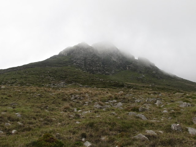 Wee BinnianCliff · 4.0 mi
 Slieve Binnian East TopMountain / peak · 4.1 mi