What is recorded here
Just off summit of a NW-SE running ridge in undulating grassland, overlooking the village of Williamstown to SE. Circular enclosure (D 110m), in fair condition, defined by two earthen banks and an intervening fosse. The inner bank is present from N through E to S; elsewhere a degraded scarp forms the enclosing element. The fosse and outer bank are best preserved from E to S. Either of two gaps at W or E could be original.
The above description is derived from the published 'Archaeological Inventory of County Galway Vol. II - North Galway'. Compiled by Olive Alcock, Kathy de hÓra and Paul Gosling (Dublin: Stationery Office, 1999).
Date of upload: 05 August 2010
The monument record does not grant public access. Check the route and ask the landowner before entering private land.
- What survives
- Recorded monument
Places near here
 KilnKiln · 335 yd
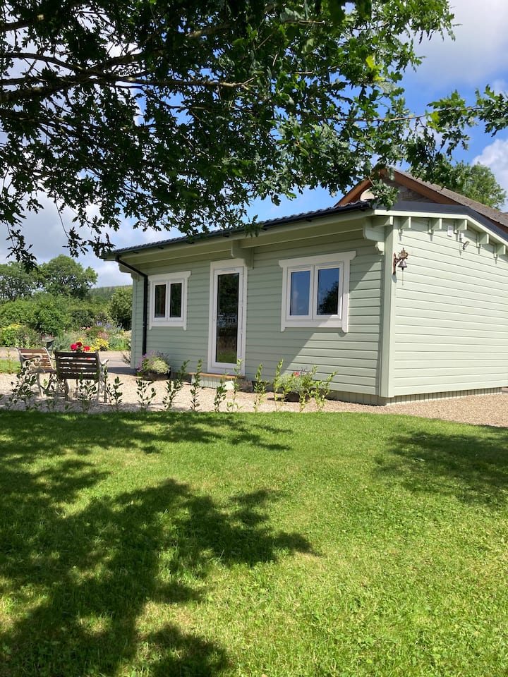 Enclosure in BallyroeEnclosure · 340 yd
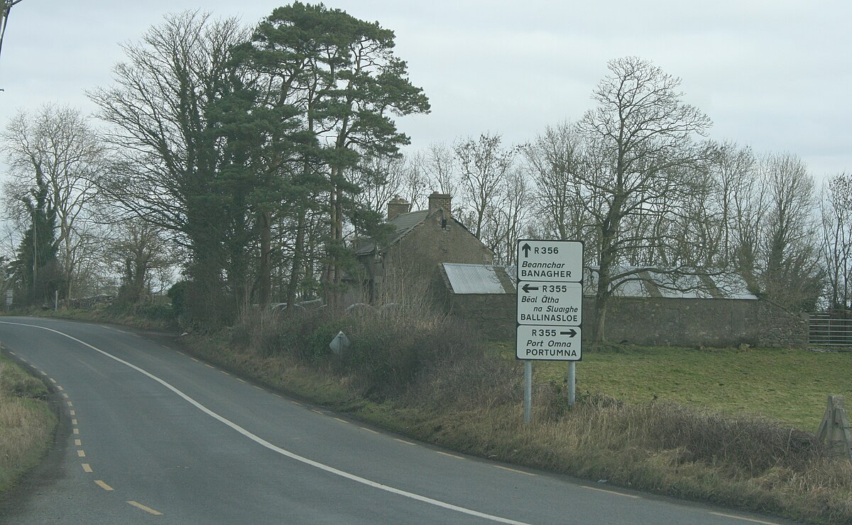 IndicatedCrannog · 558 yd
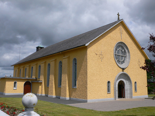 Saint Therese's Catholic Churchchurch/chapel · 727 yd
 Castle (in ruins)Castle, unclassified · 1.8 mi
 Rook HillMountain / peak · 2.1 mi
 CastleCastle, unclassified · 2.3 mi
 Coolougher WoodForest · 4.9 mi
 Site of Killomaine Grave YardArchaeological place · 5.5 mi
 Slieve DartMountain / peak · 5.5 mi
 HawthornHawthorn · 9.5 mi
 Enclosure in Moneen (island Ed)Enclosure · 809 yd