What is recorded here
Half a metre of bank still stands against the sky on Ash-Hill, wide enough for a cart to drive across and large enough to swallow a village whole. The rest has been scraped flat by ploughs and patience, but the north face remembers the shape: a circle broad as a hundred paces, tilted toward the Stacks Mountains and the Lee Valley below. Whoever built it did not build it for privacy. They built it for watching, for being seen, for standing at the edge of the land and naming what moved in the distance.
'Located on the north facing slope of Ash-Hill at an elevation of 60m this large sub-circular enclosure affords spectacular views of the Stacks Mountains to the north and of the Lee Valley between Ballycarty and Castleisland to the west and east respectively. The site was first noted on a black and white aerial photograph, however, since the photograph was taken in 1995 some field amalgamation and reclamation has taken place. The enclosing bank can only be traced intermittently around the site, particularly at the west, north-west and south. Elsewhere it has effectively been levelled and is difficult to distinguish. It is best preserved to the north where a section 0.57m in external height, 0.20m in internal height and 9.5m in width is visible. Elsewhere the bank is not as well preserved though its width where visible is between 8-10m. There are no identifiable features internally though field boundaries did cut the site and some of these have been removed. Internally the site measures 158m NE-SW and 129m NW-SE.'
Description from ‘The Prehistoric Settlement of the Lee Valley, Tralee, Co. Kerry; A Landscape Perspective’ by Michael Connolly. PhD Thesis UCC 2008
Date of upload: 20 June 2012
The monument record does not grant public access. Check the route and ask the landowner before entering private land.
- What survives
- Recorded monument
Places near here
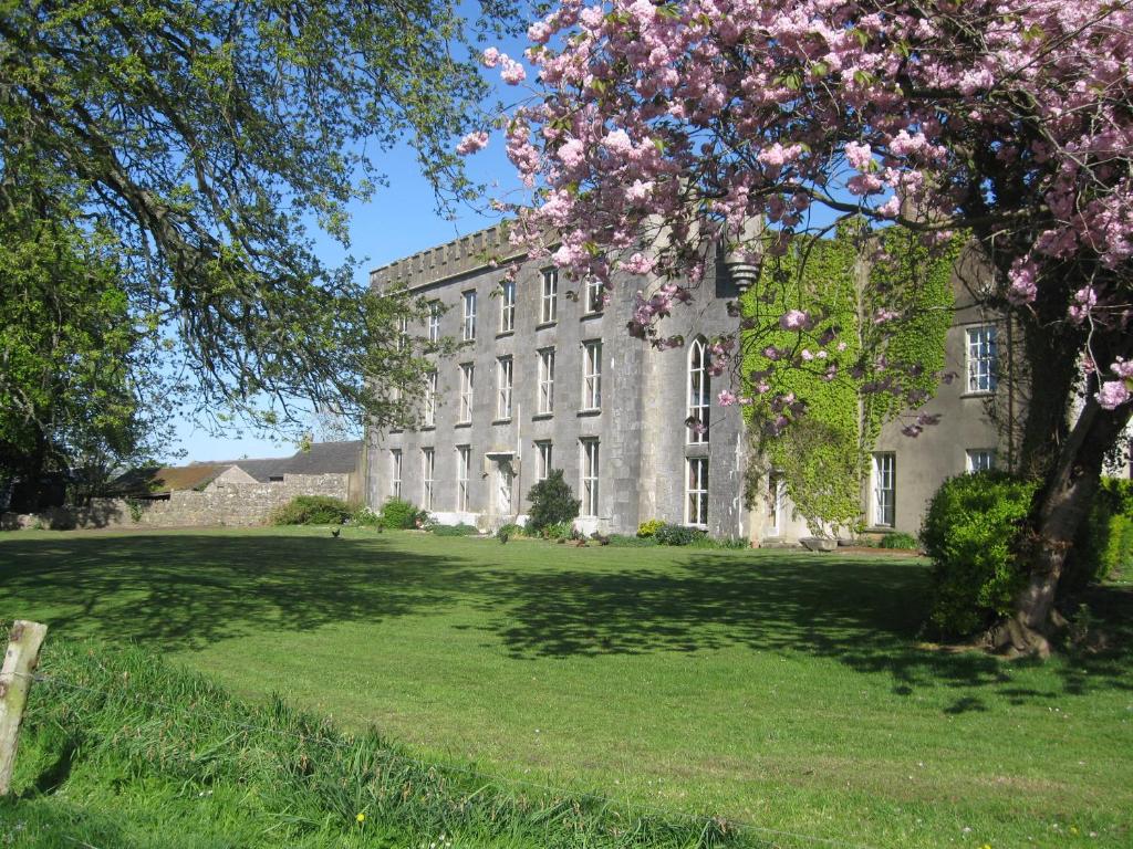 Enclosure in Ash-HillEnclosure · 540 yd
 Enclosure in Gortbrack EastEnclosure · 574 yd
 Bealagrellagh CastleCastle · 746 yd
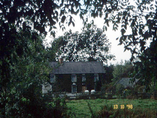 farm housefarm house · 802 yd
 IndicatedCastle, unclassified · 1.1 mi
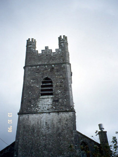 Ballymacelligott Churchchurch/chapel · 1.3 mi
 Common AlderCommon Alder · 1.4 mi
 Monument WoodWood · 1.7 mi
 PoulatouirtCave · 2.2 mi
 Poulclashcannon (blocked)Cave · 2.4 mi
 Scotia's GraveArchaeological place · 3.5 mi
 Civil War MemorialMemorial · 3.5 mi