What is recorded here
Croaghan Hill carries a ruined stone ring above a buried tomb, proving that the land has long served more than one human purpose. The fort faces southeast through a gap lined with set stones, while a field boundary now cuts across its western edge. People may have watched the sky, kept herds or tended the dead within the same circle. Time has not erased the choice, though grass and forgetting have softened its edges.
Internal diam. c. 85m. A roughly circular area enclosed by a grass-grown collapsed stone wall in places up to 5m wide and 1m high but at others hardly perceptible. A field boundary cuts off the W side and beyond this the outline of the wall is very vague. There are several gaps but one at the SE could be original as it is lined with set stones. There are extensive surfaces of rock outcrop within the enclosure. Near the centre of the interior is the passage-tomb (DG070-074002-), a mound 21m in diameter and 3m high. The site is situated on the summit of Croaghan Hill, which it exploits, and it dominates an extensive area including the ancient territory of Magh Itha.
The above description was derived from the 'Archaeological Survey of County Donegal. A description of the field antiquities of the County from the Mesolithic Period to the 17th century.' Compiled by: Brian Lacey with Eamon Cody, Claire Cotter, Judy Cuppage, Noel Dunne, Vincent Hurley, Celie O'Rahilly, Paul Walsh and Seán Ó Nualláin (Lifford: Donegal County Council, 1983). In certain instances the entries have been revised and updated.
Date of upload: 22 September 2008
This monument is subject to a preservation order made under the National Monuments Acts 1930 to 2014 (PO no. 14/1987).
The monument record does not grant public access. Check the route and ask the landowner before entering private land.
- What survives
- Recorded monument
Places near here
 Croaghan HillMountain / peak · 72 yd
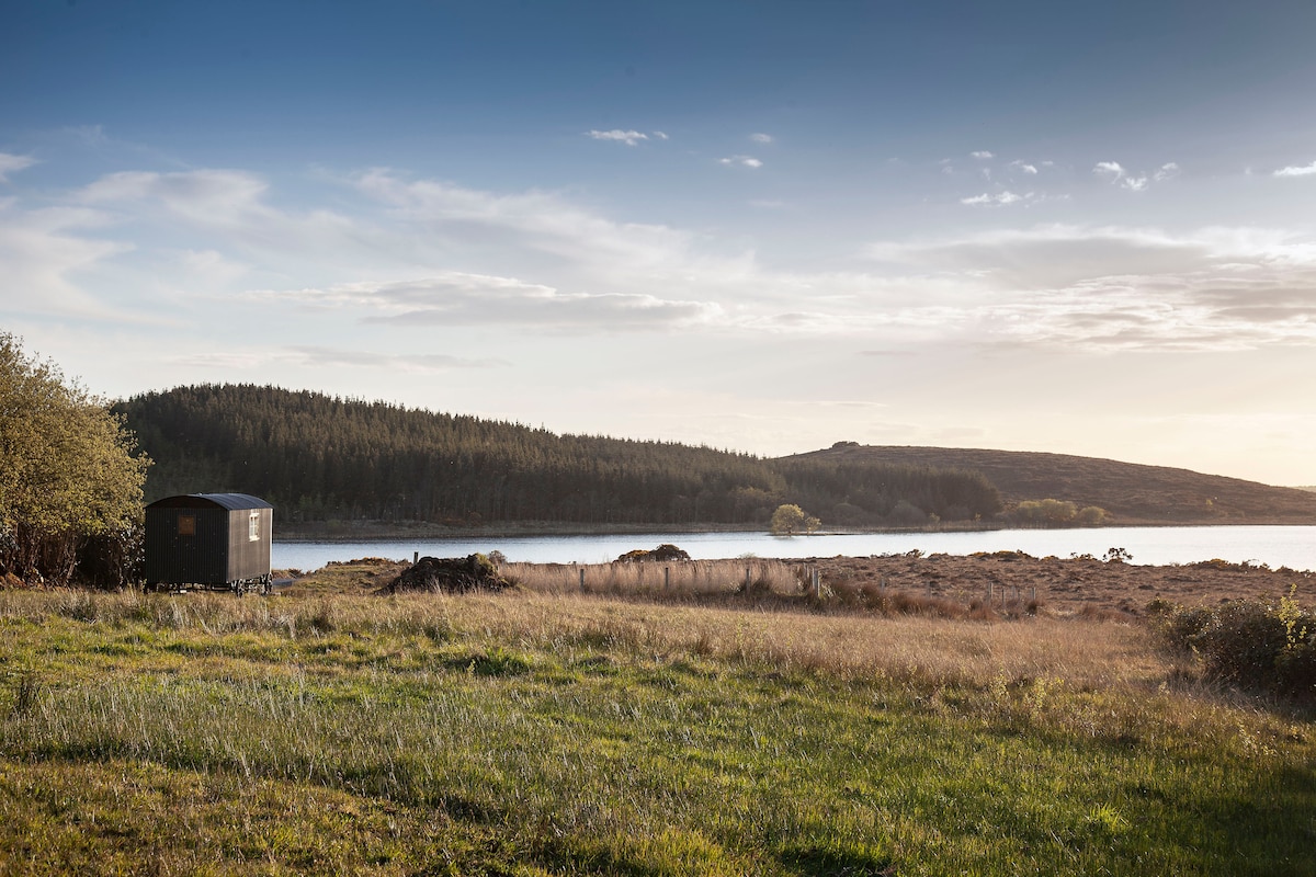 Enclosure in GlensmoilEnclosure · 1008 yd
 Inchenagh Househouse · 1480 yd
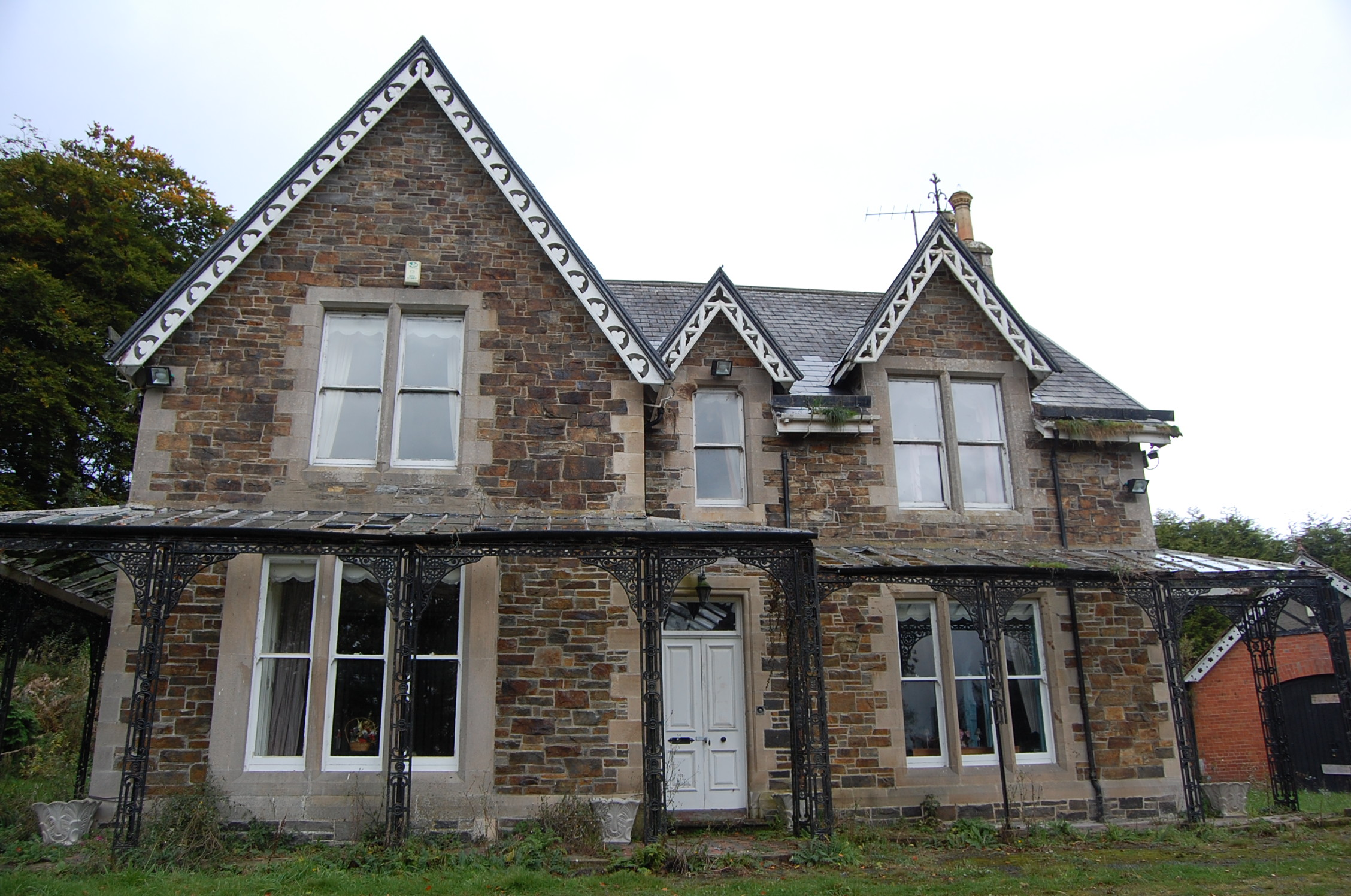 Inchenaghhouse · 1480 yd
 Enclosure in Keeloges (clonleigh South Ed)Enclosure · 1615 yd
 BATTLE SITE: in 789 AD & BATTLE OF THE FORDS , Southern crossing, 1689 in Clady; DonnygowanBATTLE SITE: in 789 AD & BATTLE OF THE FORDS , Southern crossing, 1689 · 2.2 mi
 BATTLE SITE: BATTLE OF THE FORDS, Central crossing, 1689 in Magirr; Town Parks OF StrabaneBATTLE SITE: BATTLE OF THE FORDS, Central crossing, 1689 · 2.2 mi
 OutlinedBawn · 2.6 mi
 CASTLE in Town Parks OF StrabaneCASTLE · 2.8 mi
 Gray PrinterHeritage attraction · 2.8 mi
 Second World War MemorialMemorial · 2.9 mi
 1916 Easter Rising Memorial StoneMemorial · 2.9 mi
Other information
Photo: Credit not shown in the picture search · Rights wording not checked; contact us if this picture should be removed