What is recorded here
Named 'Hermit's Cave' on the 1st ed. OS 6-inch map (surveyed 1839) where it is represented as a rectangular structure (dims. c. 26m E-W; c. 12m N-S). It has been destroyed by the time of the OS 1:2500 survey in 1899 as it is there named 'Hermit's Cave (Site of)'. Satellite imagery (DigitalGlobe imagery date 2011-13) shows a reclaimed field with no visible structure at the location of the 'Hermit's Cave'. The precise nature of this feature is unknown.
Compiled by: Jean Farrelly
Date of upload: 5 April 2023
This remains an important historical record, but the official description says the monument is no longer visible or has been destroyed. The monument record does not grant public access. Check the route and ask the landowner before entering private land.
- What survives
- No visible remains or recorded as destroyed
Places near here
 IndicatedEnclosure · 822 yd
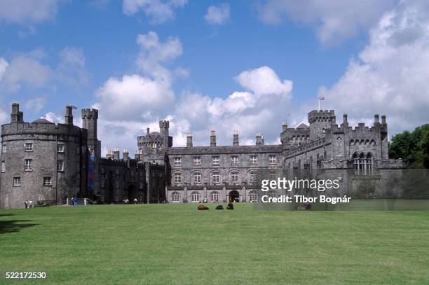 Danganbeg Castle (Site of)Castle, unclassified · 948 yd
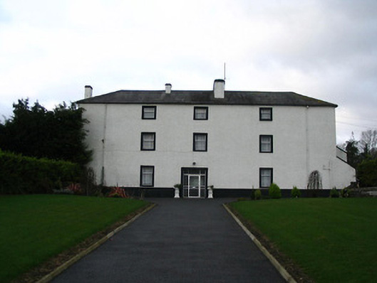 Flood Hallcountry house · 1.1 mi
 BaysrathArchaeological place · 1.1 mi
 Vicarsfield Rectoryrectory/glebe/vicarage/curate's house · 1.2 mi
 Turkey OakTurkey Oak · 1.2 mi
 Sheepstown Castle (site of)Archaeological place · 1.5 mi
 Pat WalshMemorial · 2.1 mi
 Site of Village Well 1810-1950Memorial · 2.3 mi
 Kells Augustinian PrioryHeritage attraction · 2.4 mi
 Kells Loop WalkWalking route · 2.5 mi
 Kells Priory Mill MuseumMuseum · 2.7 mi