What is recorded here
Situated on a slight platform on the floodplain on the E bank of the Inch or Claureen river. Listed in the RMP (1996) as ‘House – 17th century, possible’. On inspection in 2000 this was found to be a five-bay, two-storey house dating to the 18th century with a later porch added. The earliest date cited in the Irish Historic Towns Atlas for the house is 1795 (Ó Dálaigh 2012, 24). Weir (1986, 146-7)
Compiled by: Mary Tunney
Date of upload: 12 July 2016
The monument record does not grant public access. Check the route and ask the landowner before entering private land.
- What survives
- Recorded monument
Places near here
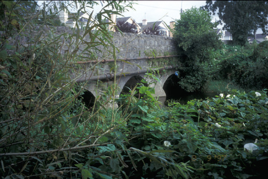 Claureen Bridgebridge · 666 yd
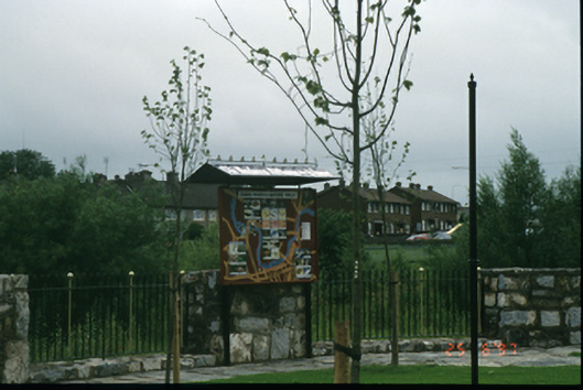 Mill Road Parkmill (water) · 792 yd
 Post Office FieldNature reserve · 1016 yd
 Enclosure in ShanvoghEnclosure · 1167 yd
 CastleCastle, tower house · 1286 yd
 O'Connell ColumnMonument · 1286 yd
 Clare MuseumMuseum · 1352 yd
 Ennis AbbeyMuseum · 1381 yd
 Poul na gollorCave · 1.8 mi
 Alice and Gwendoline CaveMuseum · 1.9 mi
 Rockmount WoodWood · 1.9 mi
 Inch Castle (in Ruins)Castle, tower house · 2.0 mi