What is recorded here
Situated on a rise in an undulating landscape. This rath is described as ‘Hebigan Fort’ on the OS 6-inch maps. It is a raised subcircular, naturally domed (H 1.2-1.5m) and grass-covered area (dims 28m E-W; 23m N-S) defined a scarp (at NNE: Wth 4.5m; H 2.3m; at SSW: Wth 4.3m; H 1.8m) that merges into the natural slope. There is no visible fosse or entrance but the base of the slope is circumvented by a field bank and hedge S-W-N.
The above description is derived from the published 'Archaeological Inventory of County Meath' (Dublin: Stationery Office, 1987). In certain instances the entries have been revised and updated in the light of recent research.
Compiled by: Michael Moore
Date of revision: 5 September 2018
Hebigan Fort is a subcircular, grass-covered ringfort situated on a rise near Spiddal. It is likely of early-medieval origin and, like many such sites in the region, may be associated with local folklore concerning fairies or ancient inhabitants.
The monument record does not grant public access. Check the route and ask the landowner before entering private land.
- What survives
- Recorded monument
Places near here
 LIssanardFairy fort / earthen ringfort · 1007 yd
 IndicatedFairy fort / earthen ringfort · 1070 yd
 Common LimeCommon Lime · 1167 yd
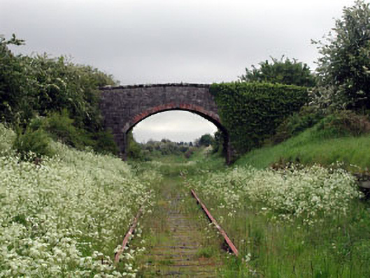 bridgebridge · 1270 yd
 Nobber GreenwayMemorial · 1308 yd
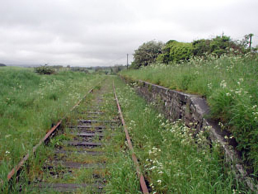 Nobber Railway Stationplatform · 1327 yd
 Cherburg WoodForest · 1450 yd
 MoatCastle, motte and bailey · 1533 yd
 Gallows HillMountain / peak · 1.3 mi
 HeadstownMountain / peak · 1.4 mi
 Castletown FortCastle, motte and bailey · 2.2 mi
 Owenroe and Moynalty DrainageMemorial · 2.8 mi