What is recorded here
Situated on a fairly level landscape. Archaeological testing (04E0916) by S. Delaney (2005) at Testing Area 11 of Contract 4 of the M3 motorway identified (excavations.ie 2004:1271) archaeological material that was fully excavated (E003146) in November 2006 by D. Bayley (2010) as Gardenrath 1 when an area of 1600 square metres was opened and a prehistoric hearth and associated features were recorded (excavations.ie 2007:1315).
The oval hearth (dims 0.8m x 0.65m; D 0.2m) had a base of oxidized clay beneath a dark brown silty clay with burnt clay and charcoal. A fragment of oak charcoal from the upper fill provided a C14 date of 2473-2301 cal. BC (UBA 12935). A thin spread (dims 0.7m x 0.18m; T 0.1m) with ash and charcoal extending NE is probably rake-out from the hearth. A small pit (diam. 0.25m D 0.12m) was immediately to the SW, and three pits (diam. 0.15m; D 0.08m to 1.2m x 0.6m; D 0.25m) NE of the hearth had single fills of brown sandy silts with stones and charcoal, and they were probably back-filled together. A small layer of grey silty sand and charcoal, two small pits or postholes together with a group of three stakeholes and a pit are within 10-20m of the hearth and are probably contemporary with it but no artefacts were recovered anywhere. (Bayley 2010, 5-7)
Compiled by: Michael Moore
Date of upload: 11 March 2022
The monument record does not grant public access. Check the route and ask the landowner before entering private land.
- What survives
- Recorded monument
Places near here
 Long WoodWood · 946 yd
 Enclosure in Kilmainham (kells Upper By., Teltown Par.)Enclosure · 1005 yd
 Furzy WoodWood · 1074 yd
 Enclosure in Headfort DemesneEnclosure · 1202 yd
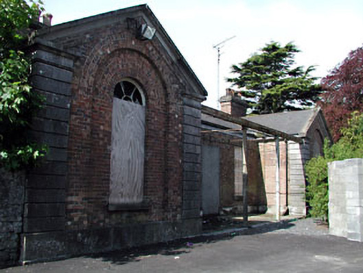 Kells Railway Stationrailway station · 1456 yd
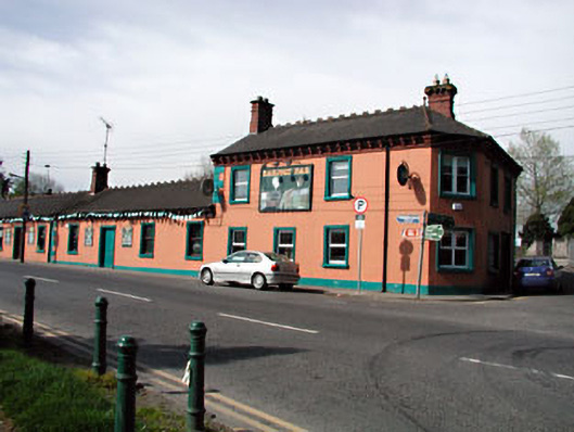 Railway Househotel · 1469 yd
 Saint John's CemeteryMemorial · 1689 yd
 The Parnell GardenMemorial · 1732 yd
 CastleCastle, unclassified · 1.1 mi
 Castle ruinsCastle · 1.2 mi
 BallybegMountain / peak · 2.1 mi
 BalreaskMountain / peak · 2.9 mi