What is recorded here
Located on a steep S facing slope of a drumlin. It was discovered during monitoring in advance of construction (Excavation Licence 00E0011). It was oval in shape (dims 1.6m x 0.9m, D 0.15m) with a stakehole cut into its base and it was filled with a charcoal-rich, burnt soil. A second hearth (MO009-070----) was situated c. 1.5m to the W and a third hearth (MO009-069----) c. 60m W. (McLoughlin and Stafford 2000, 2)
Date of upload: 14 April 2011
The monument record does not grant public access. Check the route and ask the landowner before entering private land.
- What survives
- Recorded monument
Places near here
 Hearth in Crosses (monaghan By; Monaghan Par.)Hearth · 72 yd
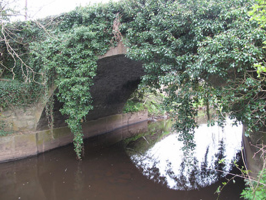 Raconnell Bridgebridge · 429 yd
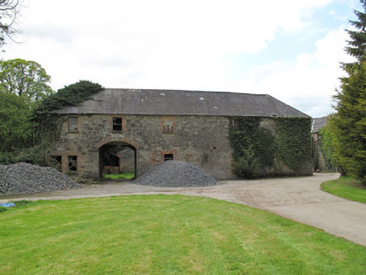 Raconnelloutbuilding · 756 yd
 IndicatedFairy fort / earthen ringfort · 927 yd
 European ashEuropean ash · 1468 yd
 Monaghan County MuseumMuseum · 1.3 mi
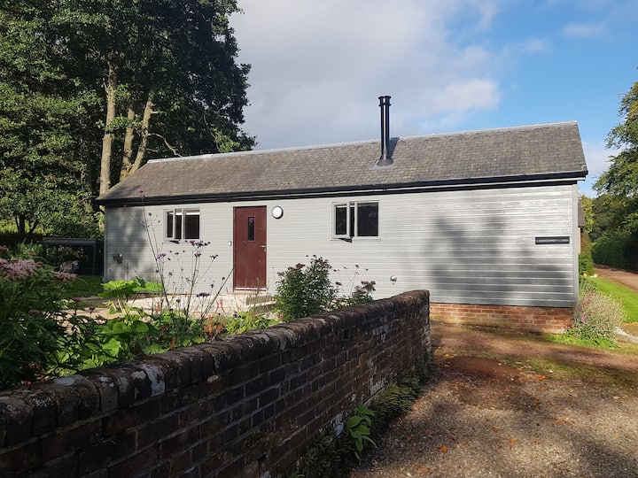 Gamekeeper's WoodForest · 1.4 mi
 Rossmore MonumentMemorial · 1.5 mi
 Bawn in Roosky (monaghan By., Monaghan Par.)Bawn · 1.5 mi
 Banba GiantHeritage attraction · 2.4 mi
 Rough HillMountain / peak · 3.4 mi
 Castleshane WaterfallWaterfall · 5.0 mi