What is recorded here
Scotland's National Record of the Historic Environment records Hazeldene as Steamship (period Unassigned)-(1906). The official map says its point is accurate as follows: NGR given to the nearest 1m. The record does not by itself mean that the public may enter the place.
Hazeldene was a steamship built in 1906, later recorded in Scotland's National Record of the Historic Environment. It was lost without known details of date, cause, or casualties, though its precise location remains mapped to the nearest 1m.
The historic-place record does not grant public access. Check current conditions and ownership before entering land or a building.
Places near here
 Enclosure in BallyspurgeEnclosure · 2.1 mi
 Kearney Coastal Walk, KearneyWalking route · 2.1 mi
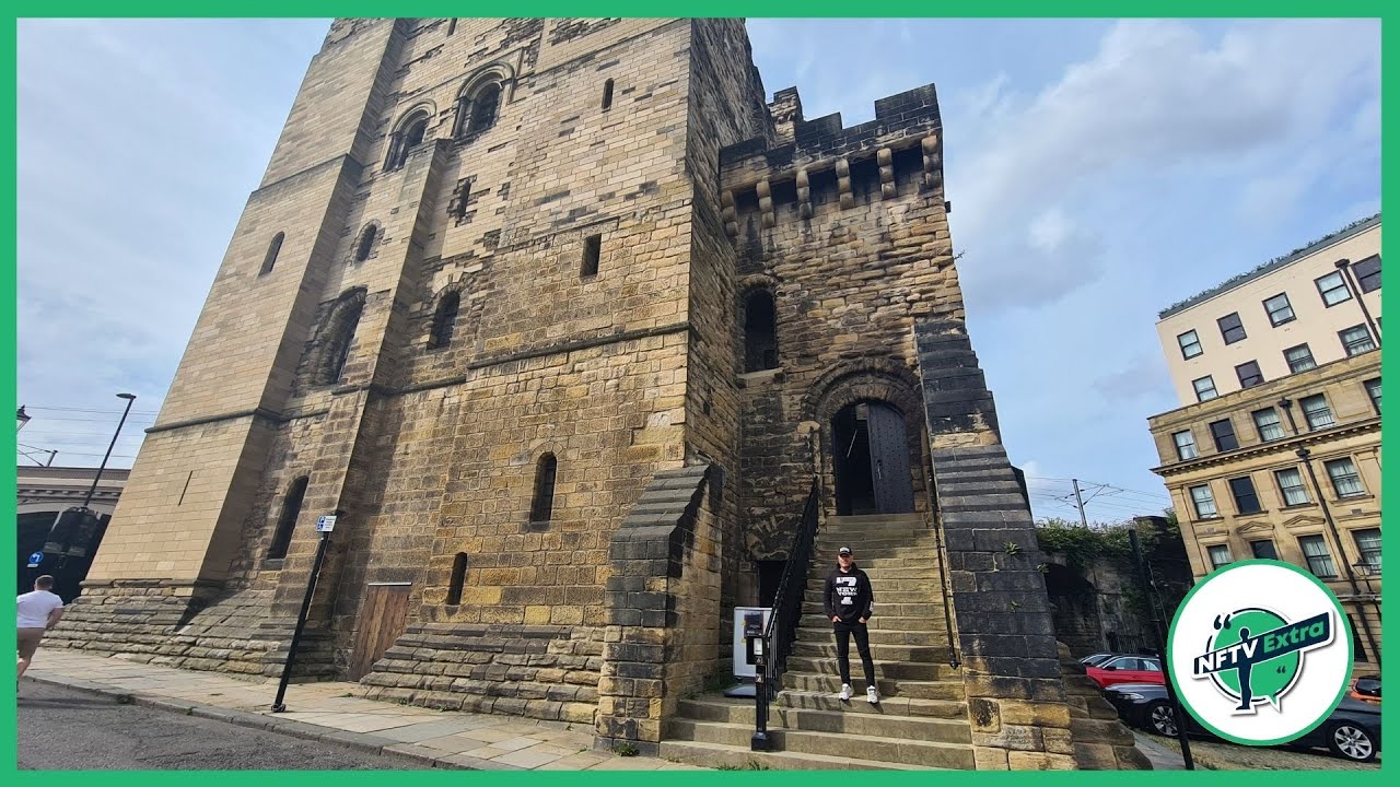 CASTLE in NewcastleCASTLE · 2.4 mi
 FORTIFIED HOUSE & BAWN: THE WHITE HOUSE in BallyspurgeFORTIFIED HOUSE & BAWN: THE WHITE HOUSE · 2.4 mi
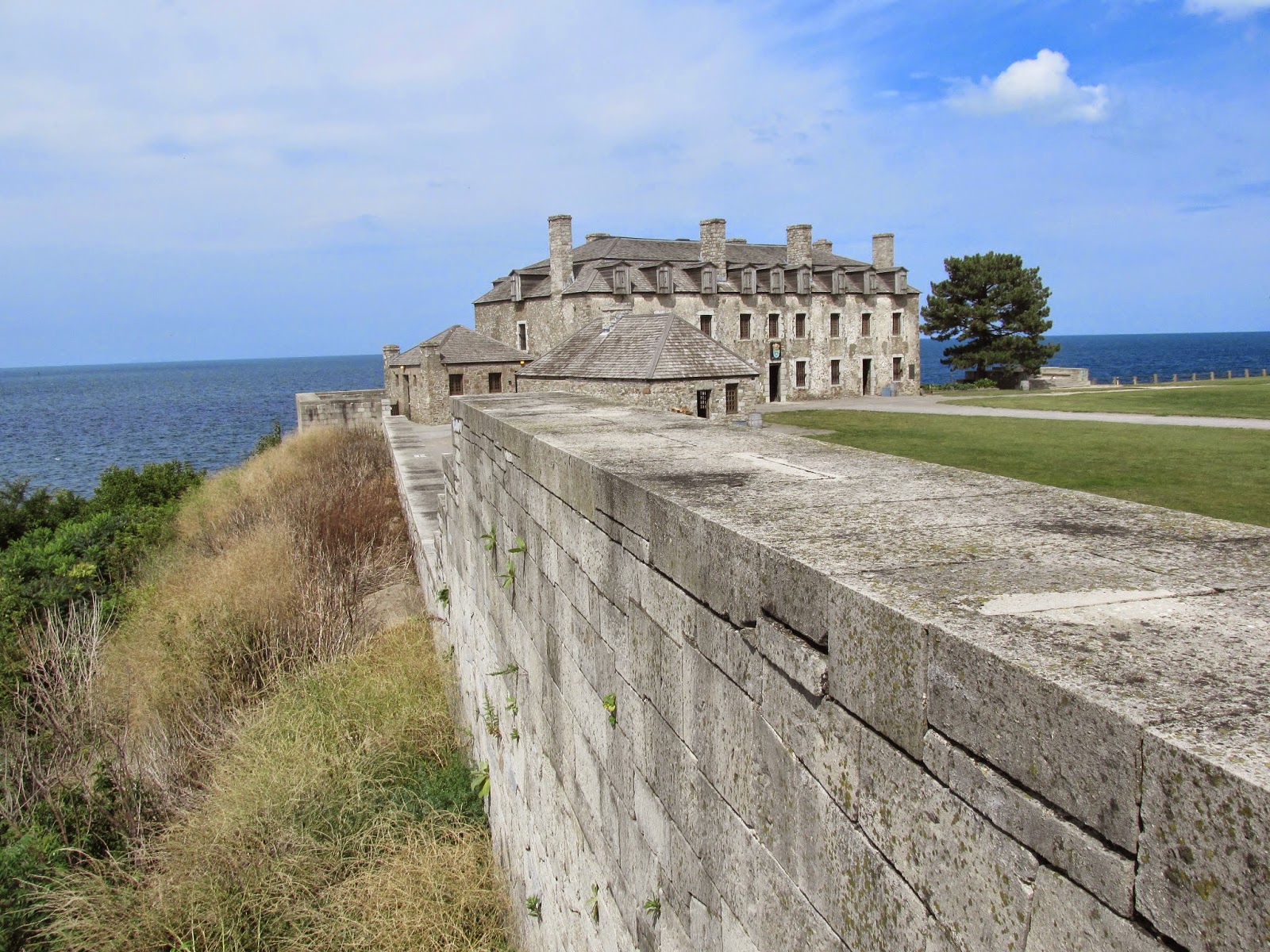 ENCLOSURE: OLD FORT in Ballygarvigan; BallyrusleyENCLOSURE: OLD FORT · 3.3 mi
 Quintin CastleCountry House · 3.5 mi
 TOWER-HOUSE: CASTLEBOY in CastleboyTOWER-HOUSE: CASTLEBOY · 3.6 mi
 MEDIEVAL CHURCH & GRAVEYARD: BALLYTRUSTAN; THRUSTAYNISTONE in BallytrustanMEDIEVAL CHURCH & GRAVEYARD: BALLYTRUSTAN; THRUSTAYNISTONE · 4.8 mi
 Corrog WoodWood · 4.8 mi
 Pherson's IslandIsland · 5.5 mi
 CHURCH & GRAVEYARD & COFFIN LIDS (2): ARDKEEN CHURCH in ArdkeenCHURCH & GRAVEYARD & COFFIN LIDS (2): ARDKEEN CHURCH · 5.7 mi
 Ballyquintin Point Nature ReserveNature reserve · 5.9 mi