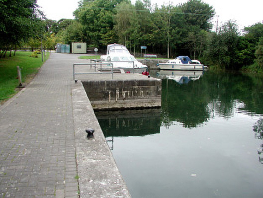
What is recorded here
L-plan harbour, c.1850, constructed on mill river leading from Blackbrick Bay to the corn mill at Lecarrow. Random coursed walls to harbour with limestone slabs to edge and cast-iron mooring posts. Limestone steps leading to lower cut stone platform to south. Limestone steps descending to water to north. Harbour extended to east.
Lecarrow harbour, still used by those navigating the Shannon, is representative of nineteenth-century construction feats associated with inland waterways. Its proximity to the corn mill at Lecarrow and adjacent stone quarries allowed raw and processed materials to be transported by water. As such the harbour played an important role in the area's industry and commerce.
This does not grant access. Most recorded buildings are privately owned; view them only from public ground unless the owner allows entry.
Places near here
 St. Johns WellHoly well · 144 yd
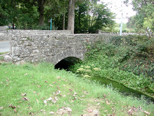 Historic buildingOfficially recorded historic building · 187 yd
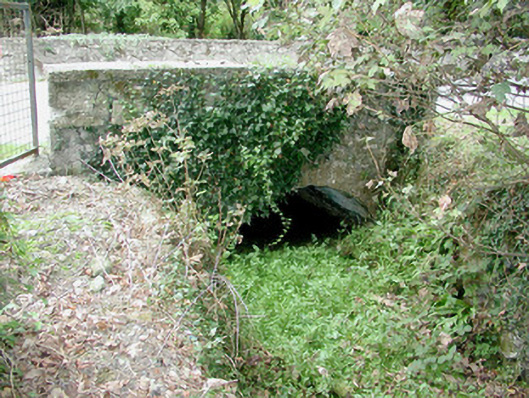 bridgebridge · 191 yd
 Fairy fort / stone ringfort in Carrownamaddy (athlone South By.),knockanyconorFairy fort / stone ringfort · 1314 yd
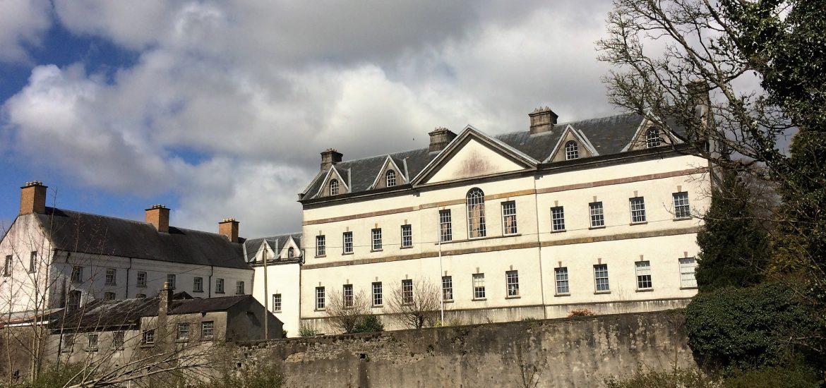 IndicatedCastle, unclassified · 1574 yd
 Blackbrink BayBay · 1.3 mi
 St. John's WoodWood · 1.9 mi
 Black RockNamed rock · 2.0 mi
 Galey CastleCastle, tower house · 2.3 mi
 Dogs IslandIslet · 2.5 mi
 RindoonWood · 2.7 mi
 Hangman's HillMountain / peak · 2.9 mi
Other information
Photo: National Inventory of Architectural Heritage · Website use allowed for educational or private purposes with source credit