What is recorded here
In pasture, 123m NW of a stream that marks townland boundary with Garryellen and 127m SE of townland boundary with Badgerfort. Depicted on the 1840 OS 6-inch map as a circular shaped area enclosed by a bank with post-1700 field boundary radiating out from S, SE and E of monument. Indicated on the 1897 OS 25-inch map as a sub-circular area (dims. int. 17m N-S; 18m E-W; ext. 32m N-S; 33m E-W) enclosed by a bank from W to SE and incorporated in a post-1700 field boundary at SE through S to WSW, post-1700 field boundaries adjoin monument at W, S and SE. Google Earth orthoimages shows the monument has been levelled with original bank incorporated into field boundary from S to W.
Levelled monument listed by O'Kelly (1943, 226) as a 'stone fort' and described as: 'a circular structure with a stone faced earthen bank now very collapsed. The entrance is not recognisable. Overall diameter 120' [36m]. Situated in rich low-land'.
See attached Google Earth orthoimages
Compiled by: Fiona Rooney
Date of upload: 28 July 2020
The monument record does not grant public access. Check the route and ask the landowner before entering private land.
- What survives
- Recorded monument
Places near here
 BarrowBarrow, unclassified · 310 yd
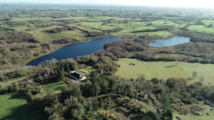 Enclosure in BadgerfortEnclosure · 361 yd
 (Site of) Garryellen CastleCastle, unclassified · 567 yd
 Dotted outlineBawn · 583 yd
 Villiers WellSpring · 1095 yd
 Carnane RockNamed rock · 1.0 mi
 Church (in ruins)Church · 1.0 mi
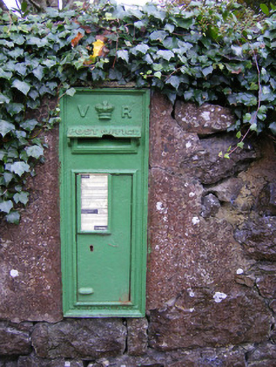 post boxpost box · 1.1 mi
 ToberauillinSpring · 2.0 mi
 Monasteranenagh AbbeyHeritage attraction · 4.1 mi
 Biodiversity in the Maigue CatchmentVisitor information · 5.3 mi
 European ashEuropean ash · 5.4 mi