What is recorded here
Situated on a rise, in the lowlying floodplain of the river Shannon. A flat-topped circular mound (diam. 23m; H 1.5m) with a near vertical gradient on the N side and more gentle gradients at S and W. The site was partially archaeologically excavated in advance of road construction works. Prior to archaeological investigation, the site consisted of a circular mound (diam. c. 23m; H 1.5m). In 2003 archaeological test excavation was carried out by Florence Hurley under licence No. 03E1144. Two hand-dug trenches, one on the W edge of the mound (7m by 1m) and one on top of the mound (2m by 2m), were excavated. These confirmed that the mound, or cairn, was made up of small and medium-sized stones (D 1m). A combination of larger stones and natural bedrock acted as revetting on the western side of the cairn. Fragments of cremated human bone were found in a discrete deposit on the old ground surface beneath the cairn. No evidence for any cists or deposits of bone within the cairn was found in the limited area examined. No external ditch was present.
See attached Google Earth orthoimages taken 19/11/2019 and 02/07/2018
Compiled by Edmond O'Donovan and Caimin O'Brien
Date of upload: 26 June 2020
A Neolithic flat-topped circular mound, likely a court tomb or passage tomb variant; its location on a prominent rise suggests ritual or ceremonial significance in the river Shannon landscape.
The monument record does not grant public access. Check the route and ask the landowner before entering private land.
- What survives
- Recorded monument
Places near here
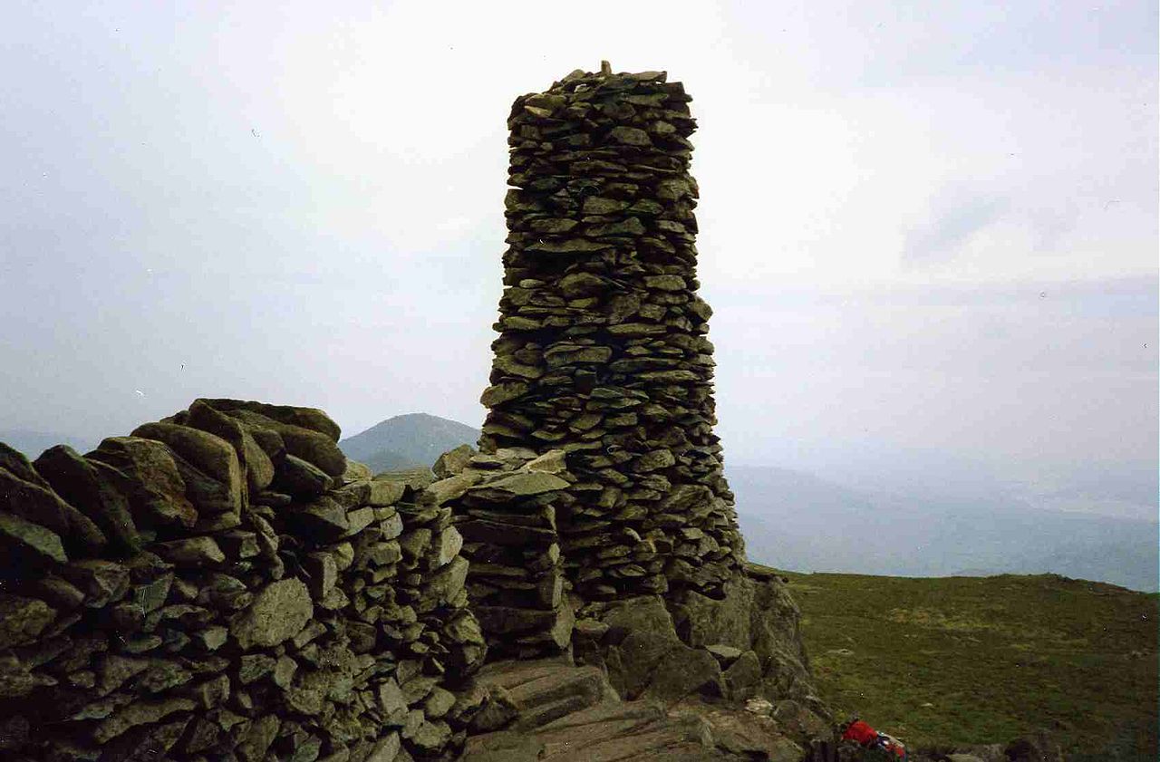 Crag Grave Yd.Children's burial ground · 682 yd
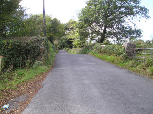 Meelick Bridgebridge · 839 yd
 Enclosure in PassEnclosure · 1477 yd
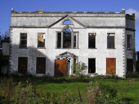 Castle Parkcountry house · 1.2 mi
 Coreen Castle (in ruins)Castle, unclassified · 1.3 mi
 Site of CastleCastle, unclassified · 1.4 mi
 Coonagh NatureNature reserve · 1.6 mi
 Muckinish PointHeadland · 2.0 mi
 Limerick Seamen's MemorialMemorial · 2.1 mi
 Saint John Paul IIMemorial · 2.1 mi
 Cratloe WoodsForest · 3.1 mi
 Ardnacrusha ToursMuseum · 3.2 mi