
What is recorded here
A geophysical survey in 2003 identified a small charcoal spread and area of burning associated with four possible ditches (Baker 2006, 112).
Compiled by: Geraldine Stout and Padraig Clancy.
Revised upload on: 26 May 2018.
The monument record does not grant public access. Check the route and ask the landowner before entering private land.
- What survives
- Recorded monument
Places near here
 CairnCairn, ring-cairn · 184 yd
 Field system in LaughanstownField system · 221 yd
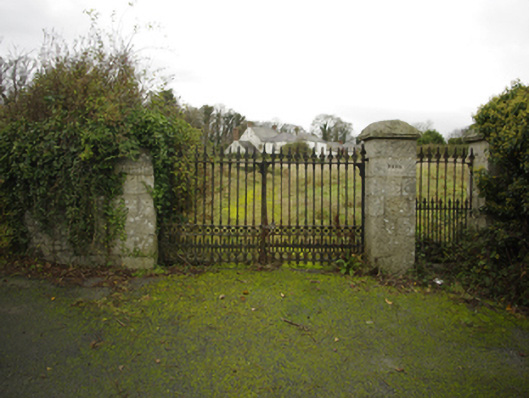 Lehaunstown Parkfarm house · 374 yd
 Church (in Ruins)Church · 635 yd
 Puck's CastleCastle · 1309 yd
 Bawn in RathmichaelBawn · 1337 yd
 Rathmichael WalkWalking route · 1545 yd
 Dingle GlenNature reserve · 1.1 mi
 Loughlinstown WoodsNature reserve · 1.1 mi
 Proclamation of the Irish RepublicMemorial · 1.3 mi
 Cabinteely Park OrchardVisitor information · 1.4 mi
 Cabinteely ParkVisitor information · 1.4 mi
Other information
Photo: Credit not shown in the picture search · Rights wording not checked; contact us if this picture should be removed