What is recorded here
This bedrock hollow, identified as F107b, was uncovered during the course of excavations in Cutting 2 in the middle enclosure at Dún Aonghasa (GA110-039----). It was roughly L-shaped in plan (max. dims. 3.5m by 2m; D 0.26m) and was made by prising out sections of rock along the bedding planes. A mixture of quarry grits and charcoal-rich clay stratified on the floor contained fragmented organic refuse and scraps of pottery. The layer was sealed by the remains of the paved floor of Structure 2.1 (GA110-039028-). A sample of animal bone from the fill yielded a radiocarbon date of 920-540 cal. BC (Cotter 2012, vol. 1, 259-60).
Compiled by: Olive Alcock
Date of upload: 23 June 2020
The monument record does not grant public access. Check the route and ask the landowner before entering private land.
- What survives
- Recorded monument
Places near here
 Not locatedStructure · 30 yd
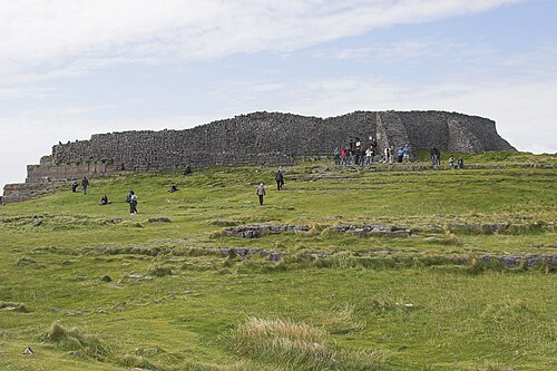 Dún AonghasaNature reserve · 31 yd
 DunaengusCliff-edge fort · 37 yd
 Kilmurvey BeachBeach / strand · 281 yd
 TemplenaneeveChurch · 913 yd
 IndicatedChurch · 1361 yd
 Castle (in ruins)Castle, unclassified · 1.6 mi
 ÁrainnIsland · 1.6 mi
 An CharcairMountain / peak · 2.0 mi
 Seal Colony LookoutViewpoint · 2.4 mi
 An tOileán ThiarIslet · 3.5 mi
 Trá na mBuailte (Beach of the Booly)Beach / strand · 4.0 mi