What is recorded here
When the lake retreated during the Late Bronze Age, a narrow ridge emerged in Brittas, inviting people to build platforms above the water and scatter life across the mud. They left behind spearheads, bracelets, pottery, and querns, proving the site was more than a passing camp. The absence of a visible hut suggests the true home lay nearby on dry land, while the ridge served as a bold extension into the shrinking lake.
During the Late Bronze Age the lake level seems to have dropped considerably and an E-W ridge (dims c. 36m x c. 20m) became available but activity extended beyond this in every direction. During a second phase four large platforms (dims 3m x 2m to 7m x 4m) were established over the smaller ones of the earlier phase. The platforms were covered in a peat with habitation debris including animal bones, two leaf-shaped socketed spearheads, six pins, a tweezers and a small bronze disc, three lignite and two shale bracelets. There were also fragments of lignite and amber bracelets and portion of a glass bead. There were over 200 sherds or pottery representing at least five coil-built, bucket-shaped vessels. Three stone and one bone spindle whorls were recovered, together with at least five hone stones and fragments of 22 saddle querns. A charcoal sample produced a C14 date of 2650 +-80 BP (c. 700 bc) (Bradley 1991, 12), but there is no hut or structure on the ridge associated with the material. However, its quantity and quality suggests that there was a significant settlement on the mainland nearby. (Bradley 1984, 86-7; 1991, 12-3; 1997, 52-8; 1999, 13-15; O’Sullivan 1998, 81-3)
Compiled by: Michael Moore
Date of upload: 6 September
The monument record does not grant public access. Check the route and ask the landowner before entering private land.
- What survives
- Recorded monument
Places near here
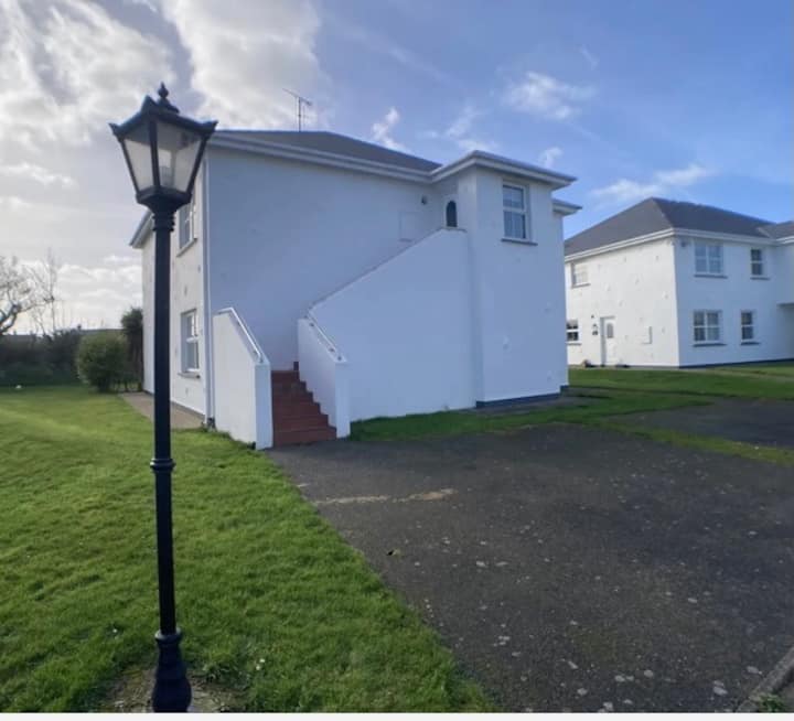 Enclosure in BrittasEnclosure · 509 yd
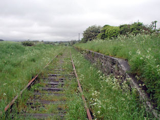 Nobber Railway Stationplatform · 560 yd
 Nobber GreenwayMemorial · 564 yd
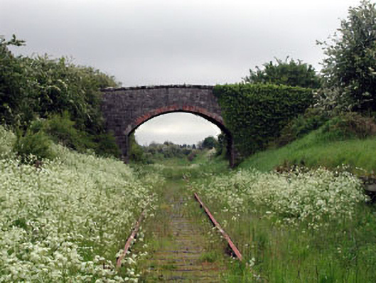 bridgebridge · 567 yd
 Cross in NobberCross · 622 yd
 MoatCastle, motte and bailey · 701 yd
 Common LimeCommon Lime · 759 yd
 Cherburg WoodForest · 1222 yd
 Gallows HillMountain / peak · 1419 yd
 Ugly HillMountain / peak · 1.6 mi
 Bawn in Robertstown (kells Lower By.)Bawn · 2.4 mi
 Owenroe and Moynalty DrainageMemorial · 3.1 mi