What is recorded here
Crannog construction began above Late Bronze Age deposits in Brittas. Brushwood, animal bones and a timber grid of six sails formed its base, while later peat layers preserved a circular wattle hut and hearth. People did not merely visit this wet place; they built a living room upon the water and left charcoal-flecked soil behind.
Above the Late Bronze Age levels (ME005-088006-, ME005-088007-) the crannog proper was constructed. The basal composition was sampled at one area near the entrance at N, and above natural silt layers was an organically rich layer composed largely of brushwood with animal bones, above which was a wattle or timber grid of six leaves or sails (Bradley 1985/6, 83). Above this was a rich organic layer, and over this were four layers of introduced peat, amongst which the earliest recorded crannog occupation (Phase W) occurred above a level (Phase V) which has produced no structures so far but has E-ware. Phase W was only partially explored but it consists of a thick layer of charcoal-flecked soil and ash but it produced evidence of the foundations of what is probably a circular post and wattle hut and a hearth. (Bradley 1991, 22; 1994-5, 165-6; O’Sullivan 1998, 106)
Compiled by: Michael Moore
Date of upload: 6 September 2018
The monument record does not grant public access. Check the route and ask the landowner before entering private land.
- What survives
- Recorded monument
Places near here
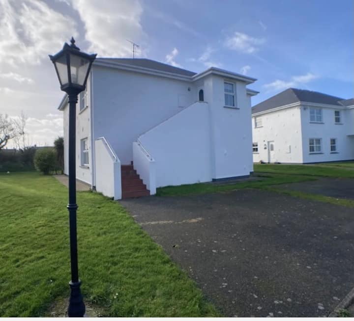 Enclosure in BrittasEnclosure · 509 yd
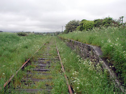 Nobber Railway Stationplatform · 560 yd
 Nobber GreenwayMemorial · 564 yd
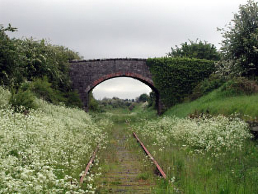 bridgebridge · 567 yd
 Cross in NobberCross · 622 yd
 MoatCastle, motte and bailey · 701 yd
 Common LimeCommon Lime · 759 yd
 Cherburg WoodForest · 1222 yd
 Gallows HillMountain / peak · 1419 yd
 Ugly HillMountain / peak · 1.6 mi
 Bawn in Robertstown (kells Lower By.)Bawn · 2.4 mi
 Owenroe and Moynalty DrainageMemorial · 3.1 mi