What is recorded here
Moynagh crannog in Brittas kept its western edge intact while the east surrendered to destruction, leaving behind a peat layer dusted with charcoal. That dark spread may have marked the outer palisade defining the northern edge, suggesting a boundary drawn in fire and water rather than stone. People likely stood at that rim, watching the lake breathe, knowing the wooden fence would one day dissolve into the very peat now hiding its shape.
Although the E side of the crannog had been destroyed at the upper level the W side was almost completely intact. However, at least one higher level had been removed. The final phase (Z) of Moynagh crannog available for investigation consisted of a peat layer with a charcoal spread which may have been associated with the outer palisade (No. 2) defining the N edge of the crannog. (Bradley 1991, 13; 1994-5, 159-60; O’Sullivan 1998, 108)
Compiled by: Michael Moore
Date of upload: 6 September
The monument record does not grant public access. Check the route and ask the landowner before entering private land.
- What survives
- Recorded monument
Places near here
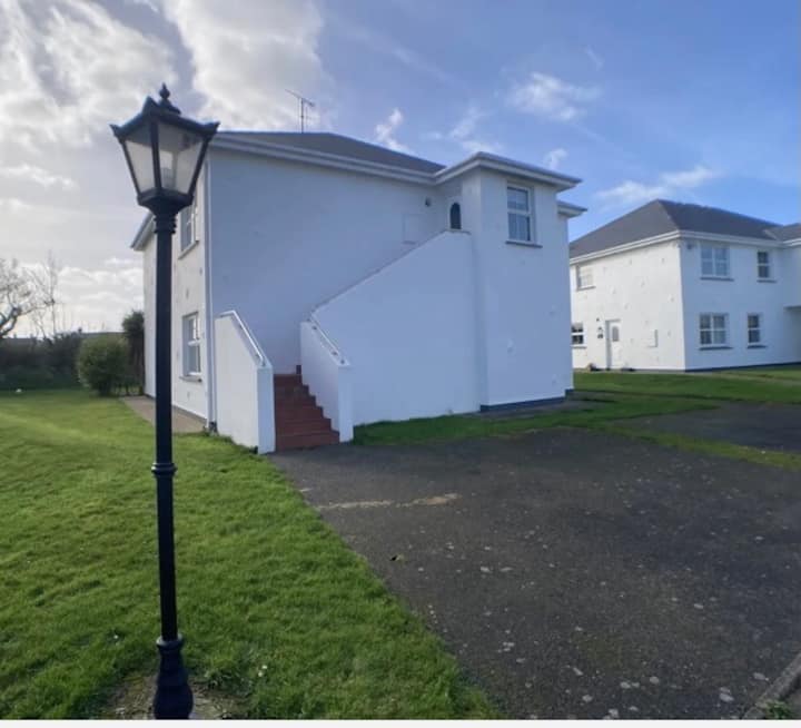 Enclosure in BrittasEnclosure · 491 yd
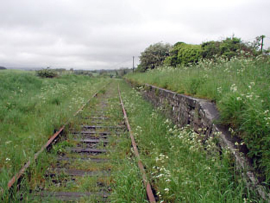 Nobber Railway Stationplatform · 594 yd
 Nobber GreenwayMemorial · 598 yd
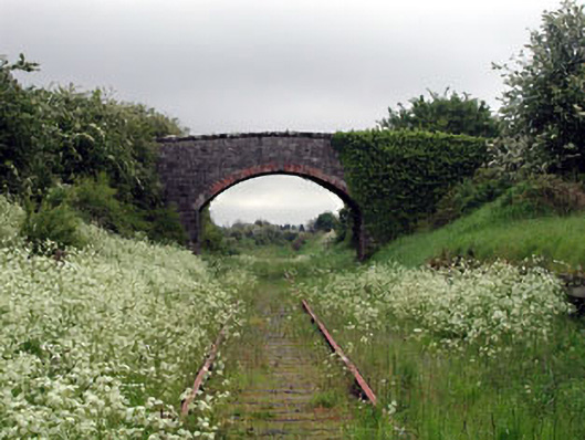 bridgebridge · 601 yd
 Cross in NobberCross · 656 yd
 MoatCastle, motte and bailey · 730 yd
 Common LimeCommon Lime · 734 yd
 Cherburg WoodForest · 1194 yd
 Gallows HillMountain / peak · 1432 yd
 Ugly HillMountain / peak · 1.6 mi
 Bawn in Robertstown (kells Lower By.)Bawn · 2.4 mi
 Owenroe and Moynalty DrainageMemorial · 3.1 mi