What is recorded here
Blackchurch is a medieval habitation site in County Kildare, Ireland. The ditches, hollows and pottery mark a place where people lived, worked and changed the land before the road took it over.
In 2003, a site was identified through archaeological testing (Licence no. 03E1606: www.excavations.ie) during pre-development road-widening of the existing N7 between the Maudlins Interchange and the Dublin/Kildare county boundary. It was subsequently excavated (Licence no. 03E1837: www.excavations.ie) as 'Site 14B'. A rectangular area (dims. L 40m; Wth 8m), located immediately north of the existing N7 and immediately west of the Castlewarden Road, was excavated and a number of linear ditches were identified extending both east-west and north-south. The stratigraphy suggested that the features represented multiple phases of activity. The linear features appeared to represent alterations in field boundaries and/or drains. Most of the fills contained medieval pottery. Some later, shallower recuts held post-medieval pottery. A number of irregularly shaped hollows filled with mixed organic soils that contained medieval pottery were identified within the natural subsoil and were interpreted as tree boles left after land clearance. All of the activity represented agricultural activity and the presence of the pottery in the dump fills suggests that there might be a medieval settlement in the vicinity.
Compiled by: Gearóid Conroy
Date of upload: 10 June 2011
The monument record does not grant public access. Check the route and ask the landowner before entering private land.
- What survives
- Recorded monument
Places near here
 Enclosure in BlackchurchEnclosure · 353 yd
 Enclosure in Castlewarden NorthEnclosure · 985 yd
 Castlewarden MoatCastle, motte and bailey · 1034 yd
 Oughterard CastleCastle · 1.3 mi
 Common LimeCommon Lime · 1.3 mi
 Oughterard Round TowerHeritage attraction · 1.4 mi
 Arthur Guinness GraveMemorial · 1.4 mi
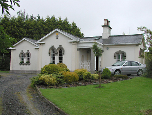 Steelstown Lodgegate lodge · 1.6 mi
 Saint Brigid's National Schoolschool · 1.7 mi
 Kilteel WoodWood · 1.7 mi
 Athgoe HillMountain / peak · 2.5 mi
 Saint Finian's WellSpring · 3.1 mi