What is recorded here
Scotland's National Record of the Historic Environment records Guiding Star as Fishing Vessel (period Unassigned)(possible). The official map says its point is accurate as follows: NGR given to the nearest 1m. The record does not by itself mean that the public may enter the place.
Guiding Star was a fishing vessel wrecked off the Scottish coast, likely in the 20th century, though the exact date and cause of loss remain unspecified. Its precise location, recorded to the nearest meter, suggests it may hold significance for local maritime history or archaeological study.
The historic-place record does not grant public access. Check current conditions and ownership before entering land or a building.
Places near here
 Ben HeadCliff · 1.6 mi
 Holy well in Irishtown (duleek Upper By., Moorechurch Par.)Holy well · 1.6 mi
 Enclosure in MosneyEnclosure · 1.8 mi
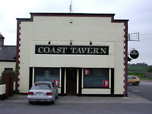 public housepublic house · 1.8 mi
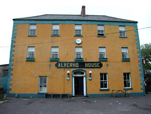 Alverno Hotelhotel · 1.9 mi
 Ballygarth CastleCastle · 2.9 mi
 SycamoreSycamore · 3.0 mi
 European YewEuropean Yew · 3.1 mi
 Gormanston CastleCastle · 3.1 mi
 Battle of Julianstownbattle · 3.4 mi
 Balbriggan Tourist OfficeVisitor information · 4.4 mi
 Clonard SpringSpring · 4.6 mi