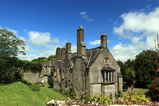
What is recorded here
In tillage, on gentle SSE-facing slope. Roughly circular area (34m NW-SE; 32.5m NE-SW) enclosed by earthen bank (int. H 1.1m; ext. H 0.9m); external fosse (D 0.45m). Inner face of bank highest to N; externally bank appears to be of similar height all round. Entrance (Wth 2.55m) to SSE; fosse shallower on each side of and at entrance. Interior slopes gently down to SSE; appears to be raised slightly on SSE side to compensate for hillslope. Circular enclosure (CO016-281---) c. 200m to SSW.
The above description is derived from the published 'Archaeological Inventory of County Cork. Volume 4: North Cork' (Dublin: Stationery Office, 2000). In certain instances the entries have been revised and updated in the light of recent research.
Date of upload/revision: 14 January 2009
The monument record does not grant public access. Check the route and ask the landowner before entering private land.
- What survives
- Recorded monument
Places near here
 Fulacht fia in SallyparkFulacht fia · 277 yd
 Country house in SallyparkCountry house · 372 yd
 Enclosure in SallyparkEnclosure · 420 yd
 Ch (in Rns)Church · 887 yd
 Battle of LiscarrollMajor battlefield · 930 yd
 Liscarroll CastleCastle · 966 yd
 Lady's WellSpring · 2.6 mi
 Churchtown TrailsVisitor information · 2.6 mi
 Windmill HillMountain / peak · 2.7 mi
 Lisgriffin CastleCastle · 2.7 mi
 Ballyhoura WayWalking route · 3.7 mi
 Buttevant Rail DisasterMemorial · 4.8 mi
Other information
Photo: Credit not shown in the picture search · Rights wording not checked; contact us if this picture should be removed