What is recorded here
In tillage, on gentle S-facing slope. Depicted as hachured circular raised area (diam. c. 22m) on 1937 OS 6-inch map. Levelled; slight rise in area of site. Cropmark of fosse of oval enclosure visible in aerial photograph (CASAP).
The above description is derived from the published 'Archaeological Inventory of County Cork. Volume 4: North Cork' (Dublin: Stationery Office, 2000). In certain instances the entries have been revised and updated in the light of recent research.
Date of upload/revision: 14 January 2009
The monument record does not grant public access. Check the route and ask the landowner before entering private land.
- What survives
- Recorded monument
Places near here
 Country house in SallyparkCountry house · 219 yd
 Fulacht fia in SallyparkFulacht fia · 353 yd
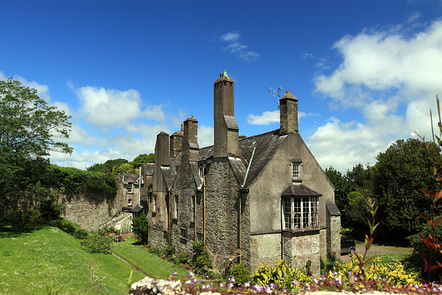 Grove an airgidFairy fort / earthen ringfort · 420 yd
 Ch (in Rns)Church · 1213 yd
 Battle of LiscarrollMajor battlefield · 1251 yd
 Liscarroll CastleCastle · 1260 yd
 Churchtown TrailsVisitor information · 2.4 mi
 Windmill HillMountain / peak · 2.4 mi
 Lady's WellSpring · 2.6 mi
 Lisgriffin CastleCastle · 2.7 mi
 Buttevant Rail DisasterMemorial · 4.6 mi
 David HurleyMemorial · 5.2 mi
Other information
Photo: Credit not shown in the picture search · Rights wording not checked; contact us if this picture should be removed