What is recorded here
Greencolly Fort stood on the Galway-Clare boundary as a sixty-metre circular enclosure opening onto a western cliff, but human activity or natural erosion levelled the site before 1922. A small boulder cairn marks the vanished fort today, preserving the shape of a place that no longer shows its own walls.
On the summit of a hill right on the Galway-Clare county boundary. Marked on the 1838 edition of the 1st OS 6-inch map as a subcircular enclosure (c. 60m N-S) opening onto a cliff edge to the W. Evidently levelled by the time of the 1922 edition of the map when the words ‘(Site of)’ are appended. No visible surface trace
survives. A small cairn of boulders, most likely a trigonometrical cairn, occupies the site.
Compiled by: Galway Archaeological Survey, UCG
Date of upload: 29 July 2019
Greencolly Fort, Leagh South is a likely early-medieval ringfort situated on a hilltop at the Galway-Clare boundary, marked on the 1838 Ordnance Survey map as a subcircular enclosure. Its location and form suggest a defensive or agricultural function, while its association with fairy lore is implied by the common Irish tradition linking such forts to supernatural beings.
The monument record does not grant public access. Check the route and ask the landowner before entering private land.
- What survives
- Recorded monument
Places near here
 Greencolly FortCliff-edge fort · 1 yd
 Enclosure in Leagh SouthEnclosure · 1161 yd
 Church (in ruins)Church · 1306 yd
 Oughtmama Church (in ruins)Church · 1391 yd
 Corcomroe AbbeyVisitor information · 1.2 mi
 Corcomroe Abbey Geopark SiteVisitor information · 1.2 mi
 Abbey HillMountain / peak · 1.2 mi
 Castle in ruinsCastle, unclassified · 1.4 mi
 Turlough HillMountain / peak · 1.4 mi
 Battle of Lough Raskabattle · 1.6 mi
 Saint Patrick's ChurchHeritage attraction · 1.8 mi
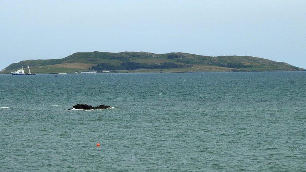 Lambs IslandIslet · 1.9 mi