What is recorded here
Kilnadore holds a graveyard whose age remains uncertain, buried beneath County Antrim soil. The exact period eludes definition, yet the stones and markers still distinguish human loss from ordinary earth. What is missing is not importance but time, leaving the place to keep its dead without explaining when they died.
The official Northern Ireland record identifies this as GRAVEYARD: KILNADORE. Recorded period: UNCERTAIN. The official map point was placed at the centre of the recorded archaeological site from the source map reference.
The monument record does not grant public access. Check the route and ask the landowner before entering private land.
- What survives
- Recorded monument
Places near here
 Central BarPublic House · 296 yd
 Sundial HouseHouse · 358 yd
 The Glens of AntrimViewpoint · 408 yd
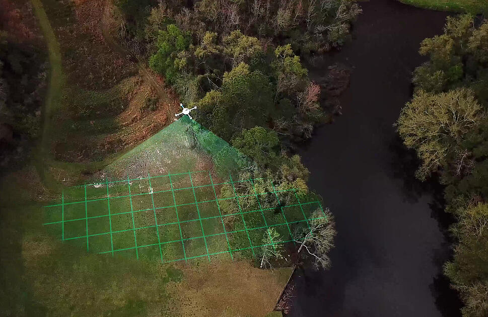 LiDAR site- Circular enclosure in CushendallLiDAR site- Circular enclosure · 494 yd
 ENCLOSURE in KnockenyENCLOSURE · 548 yd
 Red Bay CastleArchaeological place · 1435 yd
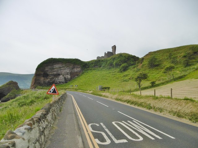 MOTTE; TWO BAILEYS; TOWER-HOUSE; CURTAIN WALL; possible site of PROMONTORY FORT: RED BAY CASTLE in Red BayMOTTE; TWO BAILEYS; TOWER-HOUSE; CURTAIN WALL; possible site of PROMONTORY FORT: RED BAY CASTLE · 1440 yd
 LurigethanMountain / peak · 1.3 mi
 TievebulliaghMountain / peak · 2.8 mi
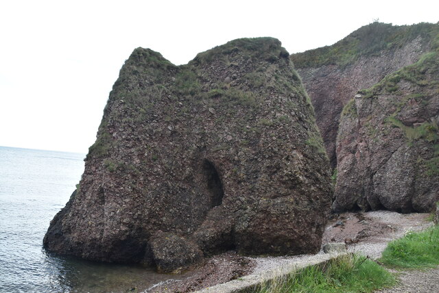 Caves of CushendunHeritage attraction · 3.3 mi
 The White LadyNamed rock · 3.8 mi
 Ess-Na-Crub WaterfallWaterfall · 4.4 mi