What is recorded here
Killycrappin is a small, unkempt graveyard on the steep Largy coast in County Antrim, used since at least 1816 by Church of Ireland families such as Price, Turnly and Higginson, and traditionally believed ancient. It sits just above the road to Garron Tower, with views out to sea and slopes dropping to cliffs below. Local story holds that victims of the 1827 Enterprise wreck lie in its north west corner, while its vaults, walled plots and scattered stones mark a place where several families kept their dead beside the dangerous beauty of the coast.
The official Northern Ireland record identifies this as GRAVEYARD - KILLEEN. Recorded period: UNCERTAIN. The official map point was placed at the centre of the recorded archaeological site from the source map reference.
The monument record does not grant public access. Check the route and ask the landowner before entering private land.
- What survives
- Recorded monument
Places near here
 possible MOTTE SITE; MULTIPERIOD CASTLE SITE: LISANOURE CASTLE or LOUGH GUILE CASTLE or LOUGH KEOULLE in Castlequarterpossible MOTTE SITE; MULTIPERIOD CASTLE SITE: LISANOURE CASTLE or LOUGH GUILE CASTLE or LOUGH KEOULLE · 1760 yd
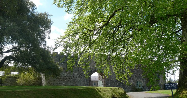 Lisanoure CastleCastle · 1.0 mi
 CROSS-CARVED STONE in Ballyknock BigCROSS-CARVED STONE · 1.1 mi
 ENCLOSURE in AltarichardENCLOSURE · 1.9 mi
 Ballylough Big HillMountain / peak · 3.0 mi
 SlievenahanaghanMountain / peak · 3.5 mi
 Slieveanorra ForestForest · 3.9 mi
 Causeway Coast and Glens Heritage TrustVisitor information · 4.4 mi
 PRE-NORMAN CHURCH & ROUND TOWER; MEDIEVAL PARISH CHURCH; POST-MEDIEVAL CHURCH & GRAVEYARD: ARMOY CHURCH & ROUND TOWER in GlebePRE-NORMAN CHURCH & ROUND TOWER; MEDIEVAL PARISH CHURCH; POST-MEDIEVAL CHURCH & GRAVEYARD: ARMOY CHURCH & ROUND TOWER · 4.7 mi
 The Dark HedgesViewpoint · 5.3 mi
 Breen ForestForest · 5.3 mi
 Gracehill HouseHouse · 5.6 mi