What is recorded here
Graveyard in Waterstown stopped serving the living before 1908, yet it still rises above the Carlow landscape as a distinct circular mound. Two crosses and a holed stone remain on the summit, marking a place where people once placed their dead beside a church. The abandoned setting does not become empty; it becomes a chamber where forgotten life continues to breathe through stone, soil and memory.
Depicted on the 1839 'OS 6-inch' map as a rectangular area (map dims. c. 60m E-W; c. 35m N-S) with outline of church (CW004-012001-) indicated in eastern half. The 1908 OS '6-inch map' depicts it as a sub-circular raised area and notes that it is 'disused'. Two crosses and holed stone stand on summit (see CW004-012003-, CW004-012004- and CW004-012005-).
Compiled by: Claire Breen
Date of upload: 19 August 2011
The monument record does not grant public access. Check the route and ask the landowner before entering private land.
- What survives
- Recorded monument
Places near here
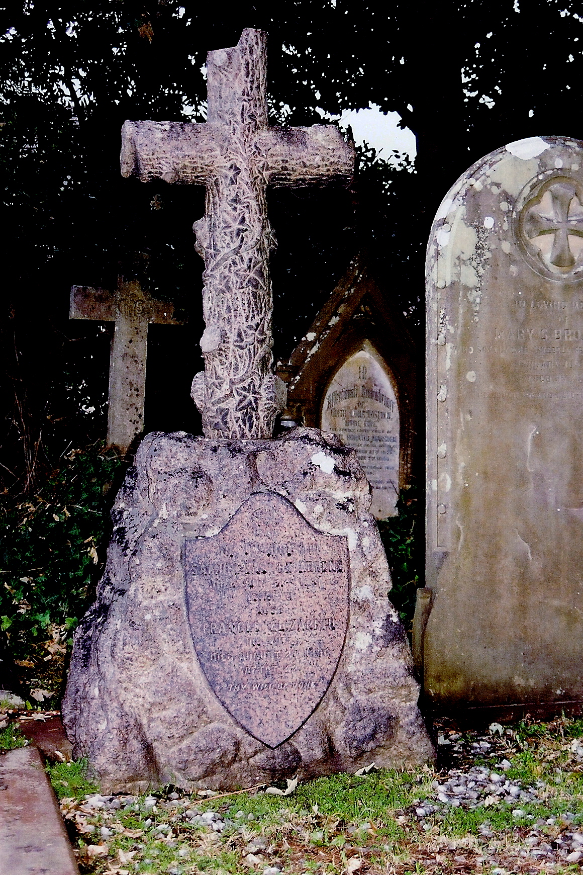 Church (site of), Cross, GraveyardChurch · 33 yd
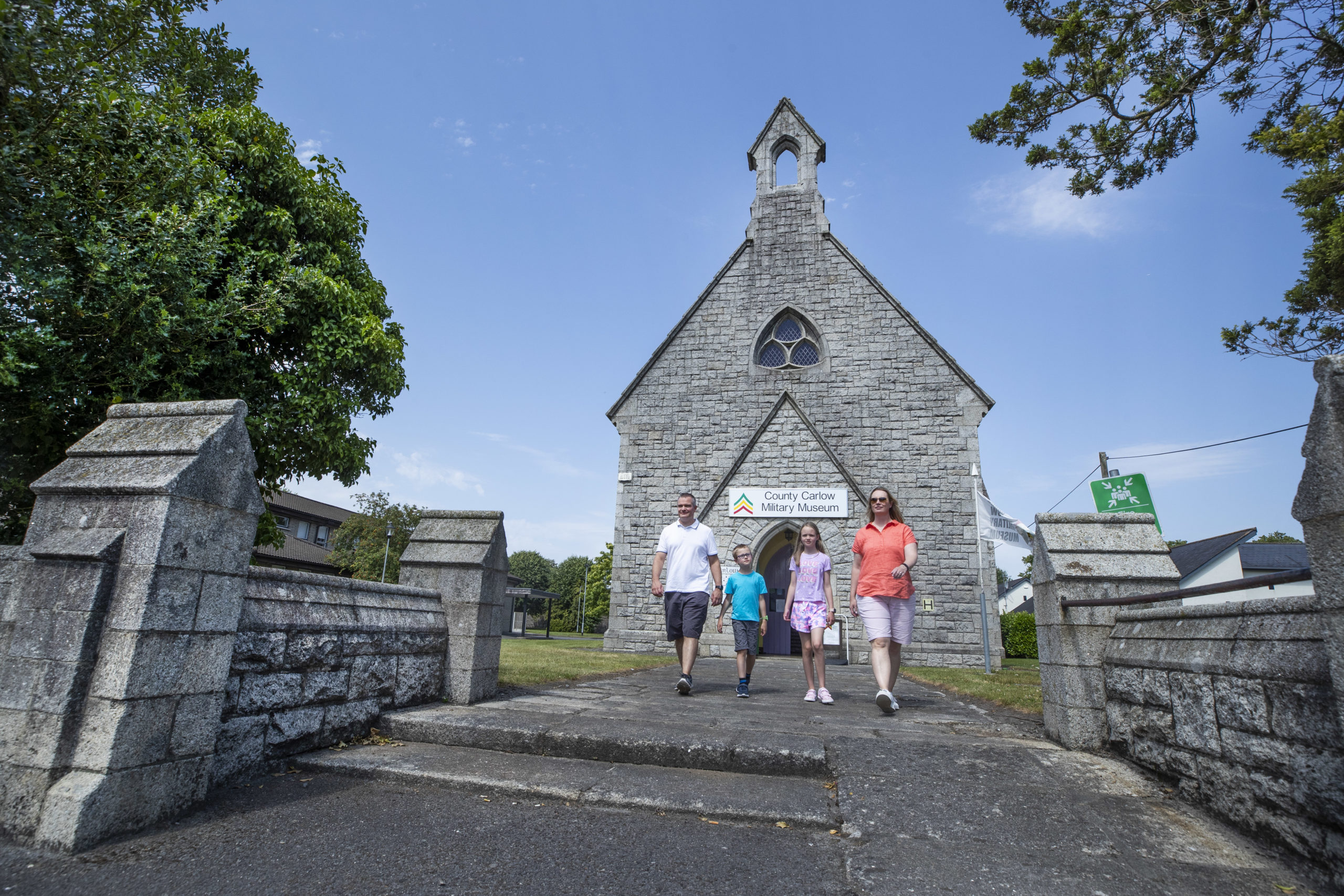 CloghaphuillCross, Wayside cross · 120 yd
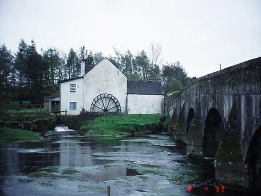 mill (water)mill (water) · 1379 yd
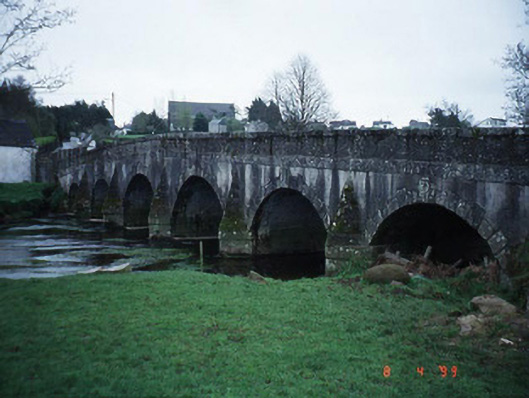 Rathvilly Bridgebridge · 1406 yd
 Rahill Church (in ruins), GraveyardChurch · 2.0 mi
 European BeechEuropean Beech · 2.5 mi
 Acaun Church (in ruins), GraveyardChurch · 2.8 mi
 MoatamoyCastle, motte · 3.6 mi
 Coppenagh CastleCastle, tower house · 4.7 mi
 Saint Brigit's Mass StoneNamed rock · 4.8 mi
 Sessile OakSessile Oak · 4.9 mi
 Saint Brigit's ChairNamed rock · 5.0 mi