What is recorded here
Twenty dead bodies lay hidden beneath the church mound before anyone built a wall around them. The graveyard is not a crowded field but a small rise where human bones waited patiently for a building to give them meaning. St Anne's church appeared later on that same mound, perhaps claiming the buried people as its own. The Yellow River still flows eighty metres west, carrying rain past the place where the dead were forgotten and then remembered through stone.
Situated on a rise in a fairly level landscape with the small NNE-SSW Yellow River c. 80m to the W. St. Anne's church (ME025-002001-) is situated on a circular mound (diam. 30m; H 1.5m) which is of artificial construction and from which at least twenty inhumations, probably associated with the church, were recovered in excavation (E000149) in 1975-6 by E. P. Kelly (1976) and 1980-1, but there is no enclosed graveyard (SMR file). The enclosure (ME025-002---) pre-dates the church, and St. Anne’s Well (ME025-045----) is c. 70m to the SW.
Compiled by: Michael Moore
Date of upload: 27 June, 2014
The monument record does not grant public access. Check the route and ask the landowner before entering private land.
- What survives
- Recorded monument
Places near here
 St. Annes ChapelChurch · 3 yd
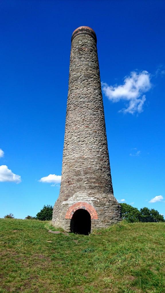 St. Annes WellHoly well · 86 yd
 Randalstown HseCastle, unclassified · 558 yd
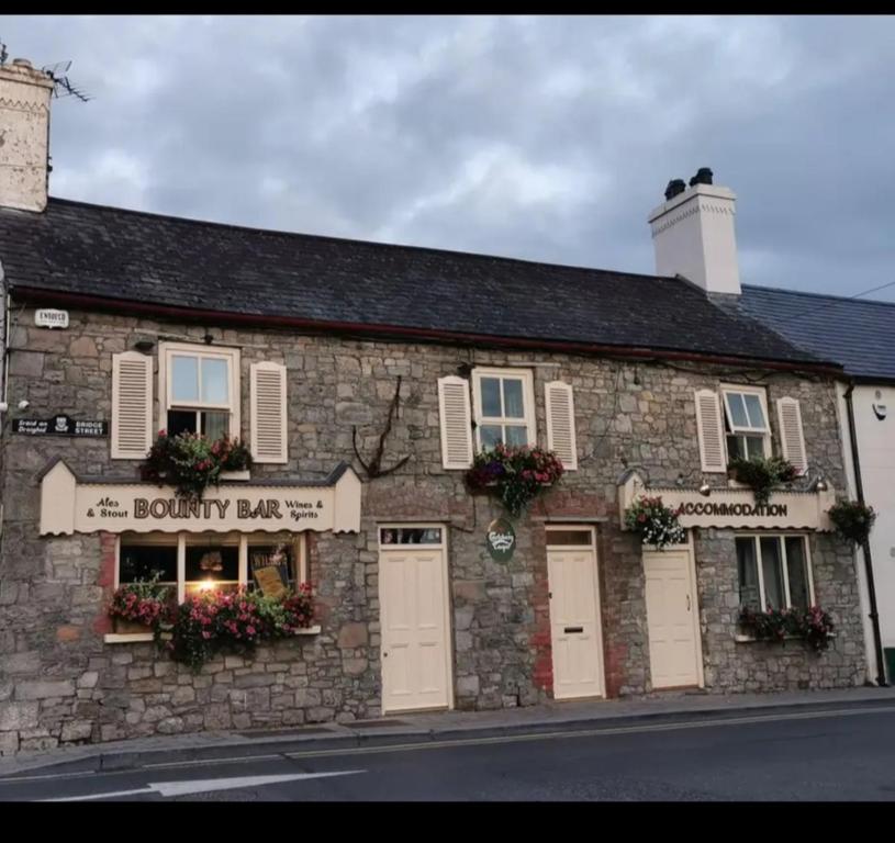 ToberdoneyHoly well · 933 yd
 Church (in Ruins)Church · 1.2 mi
 Liscartan CastleCastle, tower house · 1.2 mi
 Nangle CourtMemorial · 2.0 mi
 Gibbstown House EntranceWood · 2.1 mi
 Donaghmore Round TowerHeritage attraction · 2.9 mi
 The RampartWood · 3.0 mi
 Faughan HillMountain / peak · 3.2 mi
 BohermeenMountain / peak · 3.2 mi