What is recorded here
Owning holds a graveyard though no visible grave or marker remains in the supplied facts. It may have been a burial place for a townland now absorbed into a larger name, or a mistake in which a living field was recorded as dead ground. Either way the name preserves what measurement erased: a human loss important enough to keep separate.
The Archaeological Survey of Ireland (ASI) is in the process of providing information on all monuments on The Historic Environment Viewer (HEV). Currently the information for this record has not been uploaded. To access available information for research purposes please make an appointment in advance with the Archive Unit (open Fridays 10.00 am – 5.00 pm), Department of Housing, Local Government and Heritage, The Custom House, Dublin 1 D01W6XO or email NMarchive@housing.gov.ie.
The monument record does not grant public access. Check the route and ask the landowner before entering private land.
- What survives
- Recorded monument
Places near here
 Owning Church (in Ruins)Church · 10 yd
 European YewEuropean Yew · 23 yd
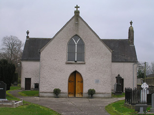 Catholic Church of the Assumptionchurch/chapel · 40 yd
 ToberunnaHoly well · 202 yd
 Owning Portal TombArchaeological place · 409 yd
 CastleCastle, unclassified · 1223 yd
 Burns WoodForest · 1743 yd
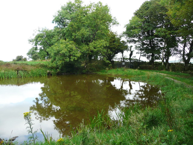 Dwyer Homestead and Pond, BregaunVisitor information · 1.5 mi
 Kilmacoliver HillMountain / peak · 1.5 mi
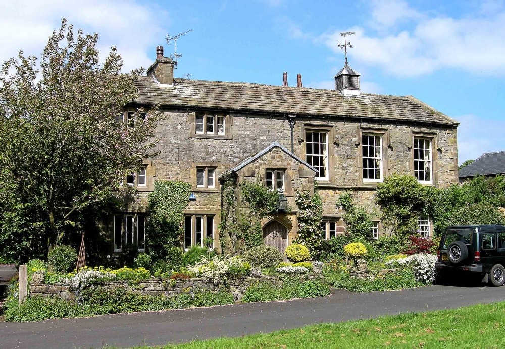 Old Court (Site of)Castle, unclassified · 1.6 mi
 Kilkieran CrossesHeritage attraction · 1.7 mi
 Woodland LoopWalking route · 2.0 mi