What is recorded here
Kilmore Church lost its exact location centuries ago, yet skulls surfaced near the western farmyard perimeter when the land was worked. They may belong to a graveyard attached to the medieval church, placing worship and death beneath the ordinary pasture where people still live. The church disappeared from memory but its buried neighbours reappeared under the spade, proving that forgetting does not erase the dead.
Situated on a slight rise in average pasture-land, modern farmyard stands on site of possible graveyard located immediately W of possible ecclesiastical enclosure (WM002-015---). The 1837 ed. OS 6-inch map shows that the farmyard is located in the NW quadrant of the glebe lands associated with Kilmore Church (WM002-015001-). These glebe lands and the medieval church of Kilmore are depicted on the 1653-9 Down Survey map of Street parish. On this map the medieval church is depicted standing to the S of the glebe land which measures 5 acres in size. The precise location of Kilmore church has not been identified. According to the landowner several skulls were unearthed near the perimeter of the enclosure while making part of the farmyard to the W. These skulls may belong to a graveyard associated with the medieval church of Kilmore (WM001-015001-). This would indicate that the church was located in the area where the modern farmyard stands today.
Compiled by: Frank Coyne & Caimin O'Brien
Date of upload: 23 November 2016
A possible early Christian graveyard, likely 6th–10th century, associated with a nearby ecclesiastical enclosure; its location suggests a regional religious or burial site of local importance.
The monument record does not grant public access. Check the route and ask the landowner before entering private land.
- What survives
- Recorded monument
Places near here
 Partially indicatedEcclesiastical enclosure · 43 yd
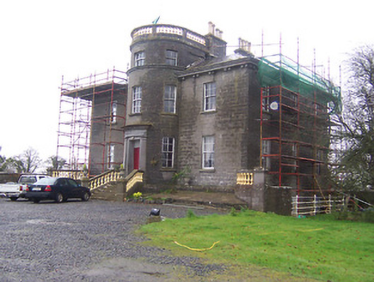 Kildevin Housecountry house · 579 yd
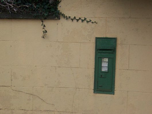 post boxpost box · 834 yd
 Coolamber CastleHouse, fortified house · 999 yd
 IndicatedCross, Wayside cross · 1047 yd
 CastleCastle, motte · 1.1 mi
 Silver FirSilver Fir · 4.1 mi
 Sweet ChestnutSweet Chestnut · 5.1 mi
 Granard MotteMotte-and-bailey castle remains · 5.2 mi
 1798 Monumentmonument · 5.2 mi
 Clonfin Ambush MemorialMemorial · 6.0 mi
 CarrickabaneMountain / peak · 7.6 mi